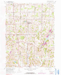
1960 Map of Homeworth
USGS Topo · Published 1990About this map
Homeworth serves as a central hub in this depiction of the rural borderlands between Stark and Columbiana counties. The landscape is defined by the headwaters of Sandy Creek and the Middle Branch Sandy Creek, which once powered the early development of these farming communities. The presence of the Fairmount Childrens Home in the northwest corner, along with the Fairmount Mem Park (Cem), highlights the region's institutional history. Transport and industry are evident through the Penn Central rail lines connecting the hamlets of Moultrie and Bayard. While agriculture predominates, the appearance of a Strip Mine and scattered oil wells near Chambersburg suggests the area's transition toward resource extraction. Local social geography is anchored by rural landmarks such as Moultrie Chapel, Knox Sch, and the Mt Calvary Ch, reflecting a settled landscape of small-town and township life.
Find a feature on this map
41 named features on this map. Tap any name to fly to it.
Don’t see what you’re looking for? This feature index may not catch every label — zoom into the map to look around manually.
Map Details
Editions of this 1960 Homeworth Map
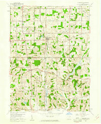
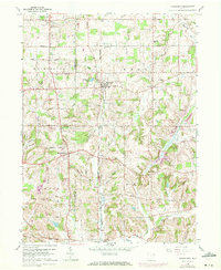
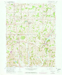
4 editions found
Other maps of this area

1905 · Salineville
USGS Topo · 1:62,500

1909 · Alliance
USGS Topo · 1:62,500

1909 · Lisbon
USGS Topo · 1:62,500

1910 · Carrollton
USGS Topo · 1:62,500

1912 · Carrollton
USGS Topo · 1:62,500

1951 · Canton
USGS Topo · 1:250,000

1952 · Alliance
USGS Topo · 1:24,000

1952 · Damascus
USGS Topo · 1:24,000

1953 · Canton
USGS Topo · 1:250,000

1957 · Canton
USGS Topo · 1:250,000