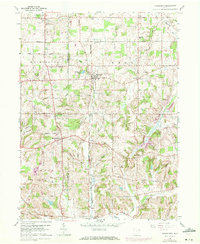
1960 Map of Homeworth
USGS Topo · Published 1972About this map
Fairmount Childrens Home stands as a prominent institution in the northwest corner of this landscape, anchoring a rural territory divided between Washington, Knox, Paris, and West townships. The map documents a transition from purely agricultural land to an era of resource extraction, with numerous Oil Wells scattered across the hilly terrain and a Strip Mine located south of New Franklin.
Find a feature on this map
40 named features on this map. Tap any name to fly to it.
Don’t see what you’re looking for? This feature index may not catch every label — zoom into the map to look around manually.
Map Details
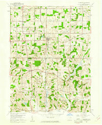
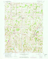
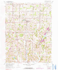
Editions of this 1960 Homeworth Map
4 editions found
Other maps of this area

1905 · Salineville
USGS Topo · 1:62,500

1909 · Alliance
USGS Topo · 1:62,500

1909 · Lisbon
USGS Topo · 1:62,500

1910 · Carrollton
USGS Topo · 1:62,500

1912 · Carrollton
USGS Topo · 1:62,500

1951 · Canton
USGS Topo · 1:250,000

1952 · Alliance
USGS Topo · 1:24,000

1952 · Damascus
USGS Topo · 1:24,000

1953 · Canton
USGS Topo · 1:250,000

1957 · Canton
USGS Topo · 1:250,000