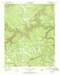
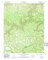
1952 Map of Honey Creek
USGS Topo · Published 1970About this map
The Oneida and Western railroad winds through the deep gorges of the South Fork Cumberland River and Western Creek, marking a landscape defined by timber and coal transport in the early 1950s. This survey captures the isolated communities along the Fentress and Scott County line, where the small settlements of Zenith and Gernt sit near the river's edge. The plateau above the river breaks is dotted with rural institutions that anchored local life, including the Honey Creek Church and several small schoolhouses like Opossum Rock School and Goad Sch. Significant topographic landmarks such as Big Ridge and Hurricane Ridge dictate the flow of numerous waterways, including Honey Creek and Whiteoak Creek, which carve through the sandstone terrain. Long-established family ties are visible in the placement of the Blevins Cem and Mt Helen Ch near the map's western border.
Find a feature on this map
59 named features on this map. Tap any name to fly to it.
Don’t see what you’re looking for? This feature index may not catch every label — zoom into the map to look around manually.
Map Details
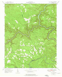
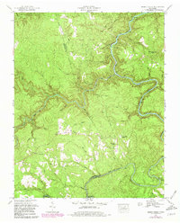
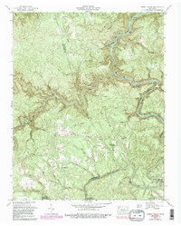
Editions of this 1952 Honey Creek Map
6 editions found
Other maps of this area

1895 · Wartburg
USGS Topo · 1:125,000

1896 · Wartburg
USGS Topo · 1:125,000

1934 · Barthell
USGS Topo · 1:62,500

1934 · Pall Mall
USGS Topo · 1:62,500

1952 · Helenwood
USGS Topo · 1:24,000

1952 · Honey Creek
USGS Topo · 1:24,000

1952 · Rugby
USGS Topo · 1:24,000
1952 · Robbins
USGS Topo · 1:24,000

1954 · Stockton
USGS Topo · 1:24,000

1954 · Burrville
USGS Topo · 1:24,000