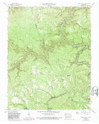
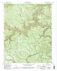
1952 Map of Honey Creek
USGS Topo · Published 1989About this map
The South Fork Cumberland River carves a deep path through the northern reaches of the Cumberland Plateau, anchoring this 1952 topographic study of the Tennessee backcountry. The landscape is defined by the sharp transition between the upland Big Ridge and the intricate river gorge system, where the Honey Creek Pocket Wilderness Area and Scott State Forest preserve much of the natural terrain. The map captures remnants of industrial and social infrastructure that once served these isolated hollows, including the Old Railroad Grade near Zenith and Gernt. Local community life is evidenced by scattered landmarks like the Honey Creek School, Mt Helen Ch, and the high-elevation Opossum Rock School. These features, along with crossings like Leatherwood Ford and Burnt Mill Bridge, provide essential mapping for those tracing the development of the Big South Fork region.
Find a feature on this map
55 named features on this map. Tap any name to fly to it.
Don’t see what you’re looking for? This feature index may not catch every label — zoom into the map to look around manually.
Map Details
Editions of this 1952 Honey Creek Map
6 editions found
Other maps of this area

1895 · Wartburg
USGS Topo · 1:125,000

1896 · Wartburg
USGS Topo · 1:125,000

1934 · Barthell
USGS Topo · 1:62,500

1934 · Pall Mall
USGS Topo · 1:62,500

1952 · Helenwood
USGS Topo · 1:24,000

1952 · Honey Creek
USGS Topo · 1:24,000

1952 · Rugby
USGS Topo · 1:24,000
1952 · Robbins
USGS Topo · 1:24,000

1954 · Stockton
USGS Topo · 1:24,000

1954 · Burrville
USGS Topo · 1:24,000