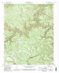
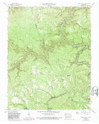
1952 Map of Honey Creek
USGS Topo · Published 1989About this map
Scott State Forest and the Big South Fork National River and Recreation Area dominate this topographic landscape along the border of Fentress and Scott counties. The winding course of the South Fork Cumberland River creates a deeply incised geography, with the rugged terrain marked by family-named hollows and ridges. Rural life is anchored by small communities and gathering places like Honey Creek Church and Mt Helen Ch, while education was served by local structures such as Goad Sch and Opossum Rock School.
Find a feature on this map
49 named features on this map. Tap any name to fly to it.
Don’t see what you’re looking for? This feature index may not catch every label — zoom into the map to look around manually.
Map Details
Editions of this 1952 Honey Creek Map
6 editions found
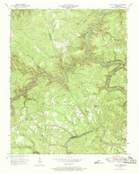
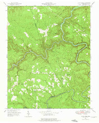
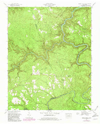
Other maps of this area

1895 · Wartburg
USGS Topo · 1:125,000

1896 · Wartburg
USGS Topo · 1:125,000

1934 · Barthell
USGS Topo · 1:62,500

1934 · Pall Mall
USGS Topo · 1:62,500

1952 · Helenwood
USGS Topo · 1:24,000

1952 · Honey Creek
USGS Topo · 1:24,000

1952 · Rugby
USGS Topo · 1:24,000
1952 · Robbins
USGS Topo · 1:24,000

1954 · Stockton
USGS Topo · 1:24,000

1954 · Burrville
USGS Topo · 1:24,000