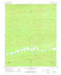
1966 Map of Honobia
USGS Topo · Published 1978About this map
Honobia sits at the intersection of three counties in the late 1960s, serving as a remote outpost where the Kiamichi Mountains meet the Boktuklo Mountains. The settlement pattern follows the narrow valley of the Little River, where the Honobia Sch and Christs Forty Acres Camp are established along its banks. The rugged terrain is defined by a series of prominent ridges, including Tuskahoma Mountain and Deadman Mountain, separated by deep hollows such as Deadman Hollow and Crane Hollow.
Find a feature on this map
40 named features on this map. Tap any name to fly to it.
Don’t see what you’re looking for? This feature index may not catch every label — zoom into the map to look around manually.
Map Details
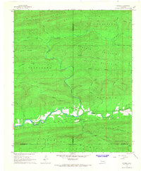
Editions of this 1966 Honobia Map
2 editions found
Other maps of this area

1900 · Winding Stair
USGS Topo · 1:125,000

1901 · Tuskahoma
USGS Topo · 1:125,000

1901 · Alikchi
USGS Topo · 1:125,000

1902 · Lukfata
USGS Topo · 1:125,000

1908 · Tuskahoma
USGS Topo · 1:125,000

1909 · Tuskahoma
USGS Topo · 1:125,000

1909 · Winding Stair
USGS Topo · 1:125,000

1950 · Mcalester
USGS Topo · 1:250,000

1960 · Bethel
USGS Topo · 1:62,500

1962 · McAlester
USGS Topo · 1:250,000