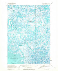
1953 Map of Hooper Bay B-2
USGS Topo · Published 1965About this map
Old Chevak stands as a primary point of human settlement within this intricate network of coastal waterways on the Yukon-Kuskokwim Delta. The landscape is defined by the winding paths of the Keoklevik River and the Kashunuk River, which weave through a complex mosaic of tundra ponds and marshland. In 1953, the area was designated as part of the Clarence Rhode National Wildlife Range Area No 1, reflecting its importance as a critical habitat. Extensive deposits of Sand and Mud characterize the transition into Angyoyaravak Bay at the southern edge of the sheet. The survey, based on 1953 aerial photography, illustrates a highly fluid environment where the Ninglikfak River and Tutakoke River continuously reshape the low-lying terrain. This document preserves the mid-century geography of a region where seasonal changes and water levels dictate the patterns of navigation and subsistence.
Find a feature on this map
8 named features on this map. Tap any name to fly to it.
Don’t see what you’re looking for? This feature index may not catch every label — zoom into the map to look around manually.
Map Details
Editions of this 1953 Hooper Bay B-2 Map
2 editions found
Other maps of this area

1951 · Hooper Bay
USGS Topo · 1:250,000
1952 · Hooper Bay B-3
USGS Topo · 1:63,360

1952 · Hooper Bay C-3
USGS Topo · 1:63,360
1952 · Hooper Bay A-2
USGS Topo · 1:63,360
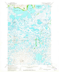
1952 · Hooper Bay C-1
USGS Topo · 1:63,360

1953 · Hooper Bay
USGS Topo · 1:250,000
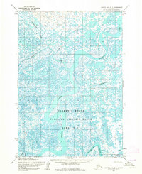
1953 · Hooper Bay B-1
USGS Topo · 1:63,360

1953 · Hooper Bay C-2
USGS Topo · 1:63,360
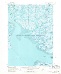
1954 · Hooper Bay A-1
USGS Topo · 1:63,360

1964 · Hooper Bay
USGS Topo · 1:250,000