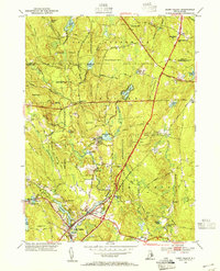
1953 Map of Hope Valley
USGS Topo · Published 1955About this map
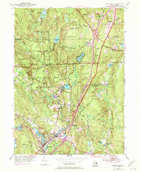
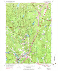
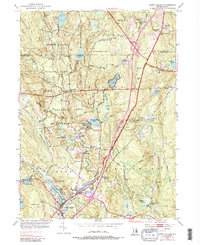
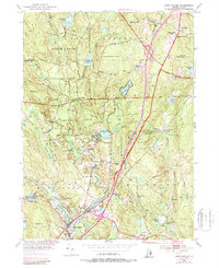
Hope Valley and Wyoming serve as the southern anchors of this mid-century survey, where the Wood River provides the backbone for local industry and recreation. The landscape is defined by extensive protected lands, notably the Beach Pond Reservation and Arcadia Reservation, which preserve the rocky terrain of Bald Hill and Penny Hill. Traces of earlier small-scale manufacturing are evident at Browning Mill and the Fish Hatchery, while rural life is marked by the presence of the West Exeter Ch and West Greenwich Sch.
Find a feature on this map
75 named features on this map. Tap any name to fly to it.
Don’t see what you’re looking for? This feature index may not catch every label — zoom into the map to look around manually.
Map Details
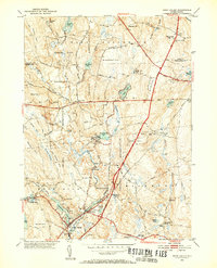
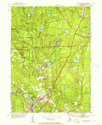
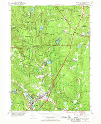
Editions of this 1953 Hope Valley Map
8 editions found
Other maps of this area

1889 · Stonington
USGS Topo · 1:62,500

1889 · Charlestown
USGS Topo · 1:62,500

1889 · Moosup
USGS Topo · 1:62,500

1890 · Kent
USGS Topo · 1:62,500

1893 · Moosup
USGS Topo · 1:62,500

1893 · Stonington
USGS Topo · 1:62,500

1894 · Kent
USGS Topo · 1:62,500

1919 · Charlestown
USGS Topo · 1:62,500

1920 · Moosup
USGS Topo · 1:62,500

1921 · Charlestown
USGS Topo · 1:62,500