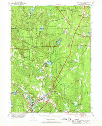
1953 Map of Hope Valley
USGS Topo · Published 1969About this map
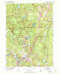
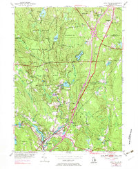
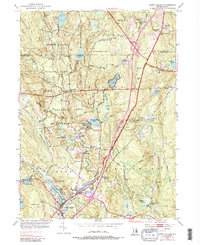
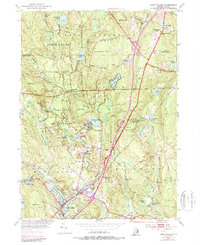
The Beach Pond Reservation and Arcadia Reservation dominate the landscape of Washington County in the early 1950s, preserving a densely wooded region marked by glacial depressions and small water bodies. Small settlements like Barberville and Millville dot the interior, while the larger villages of Wyoming and Hope Valley serve as anchors along the Wood River in the south. The area’s heritage is visible in the numerous burial grounds, including Lillibridge Cem and Barber Cem, which often signify the locations of earlier farmstead centers.
Find a feature on this map
76 named features on this map. Tap any name to fly to it.
Don’t see what you’re looking for? This feature index may not catch every label — zoom into the map to look around manually.
Map Details
Editions of this 1953 Hope Valley Map
8 editions found
Other maps of this area

1889 · Stonington
USGS Topo · 1:62,500

1889 · Charlestown
USGS Topo · 1:62,500

1889 · Moosup
USGS Topo · 1:62,500

1890 · Kent
USGS Topo · 1:62,500

1893 · Moosup
USGS Topo · 1:62,500

1893 · Stonington
USGS Topo · 1:62,500

1894 · Kent
USGS Topo · 1:62,500

1919 · Charlestown
USGS Topo · 1:62,500

1920 · Moosup
USGS Topo · 1:62,500

1921 · Charlestown
USGS Topo · 1:62,500