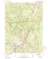
1953 Map of Hope Valley
USGS Topo · Published 1987About this map
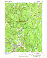
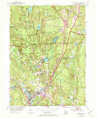
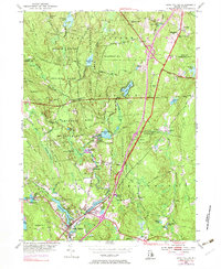
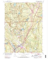
The Wood River serves as a central artery for industry and settlement in this mid-century portrait of Washington County. Along its course, the villages of Hope Valley and Wyoming sit near the confluence of Brushy Brook and Locustville Pond, showing a landscape defined by small-scale milling and textile history. The rugged northern terrain is dominated by the Arcadia Management Area and Beach Pond State Park, where landmarks like Breakheart Hill and Bald Hill rise above numerous reclaimed ponds including Breakheart Pond and Browning Mill Pond. Cultural details for genealogists include numerous family burial grounds such as Breakheart Cem and Barber Cem, along with the West Exeter Ch and West Greenwich Sch. The 1970s updates, shown in purple, highlight the arrival of the Interchange at Nooseneck Hill Road, signaling the transition from rural mill towns to a connected regional corridor.
Find a feature on this map
82 named features on this map. Tap any name to fly to it.
Don’t see what you’re looking for? This feature index may not catch every label — zoom into the map to look around manually.
Map Details
Editions of this 1953 Hope Valley Map
8 editions found
Other maps of this area

1889 · Stonington
USGS Topo · 1:62,500

1889 · Charlestown
USGS Topo · 1:62,500

1889 · Moosup
USGS Topo · 1:62,500

1890 · Kent
USGS Topo · 1:62,500

1893 · Moosup
USGS Topo · 1:62,500

1893 · Stonington
USGS Topo · 1:62,500

1894 · Kent
USGS Topo · 1:62,500

1919 · Charlestown
USGS Topo · 1:62,500

1920 · Moosup
USGS Topo · 1:62,500

1921 · Charlestown
USGS Topo · 1:62,500