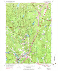
1953 Map of Hope Valley
USGS Topo · Published 1983About this map
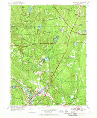
The Wood River corridor serves as the industrial and social spine of this Rhode Island landscape, connecting the manufacturing villages of Wyoming and Hope Valley. At mid-century, the area’s textile and milling heritage is evident in the string of ponds and dams powering the valley, from Wyoming Pond down to Locustville Pond. To the north and west, the terrain transitions into the dense woodlands of the Arcadia Management Area, where a network of small family cemeteries like Lillibridge Cem and Barber Cem provides a quiet record of earlier rural settlement.
Find a feature on this map
72 named features on this map. Tap any name to fly to it.
Don’t see what you’re looking for? This feature index may not catch every label — zoom into the map to look around manually.
Map Details
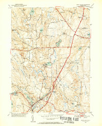
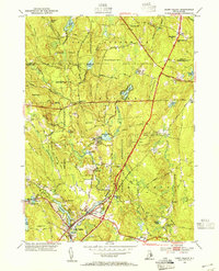
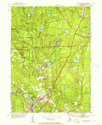
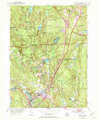
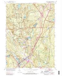
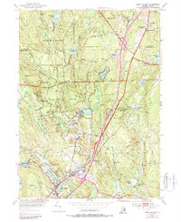
Editions of this 1953 Hope Valley Map
8 editions found
Other maps of this area

1889 · Stonington
USGS Topo · 1:62,500

1889 · Charlestown
USGS Topo · 1:62,500

1889 · Moosup
USGS Topo · 1:62,500

1890 · Kent
USGS Topo · 1:62,500

1893 · Moosup
USGS Topo · 1:62,500

1893 · Stonington
USGS Topo · 1:62,500

1894 · Kent
USGS Topo · 1:62,500

1919 · Charlestown
USGS Topo · 1:62,500

1920 · Moosup
USGS Topo · 1:62,500

1921 · Charlestown
USGS Topo · 1:62,500