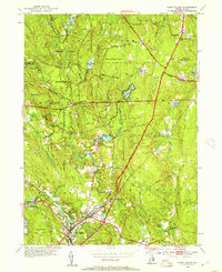
1953 Map of Hope Valley
USGS Topo · Published 1957About this map
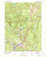
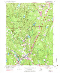
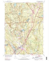
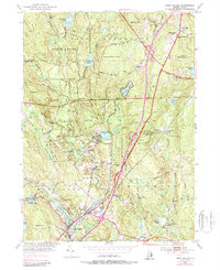
Wood River defines the industrial and social spine of this Rhode Island interior, powering early settlements and small mill hamlets in the years following World War II. The map shows the established villages of Hope Valley and Wyoming in the south, while the northern reaches are dominated by the extensive Arcadia Reservation and Beach Pond Reservation. This landscape is a mix of high points like Nooseneck Hill and Bald Hill alongside localized landmarks such as the Fish Hatchery and the Lookout Tower.
Find a feature on this map
66 named features on this map. Tap any name to fly to it.
Don’t see what you’re looking for? This feature index may not catch every label — zoom into the map to look around manually.
Map Details
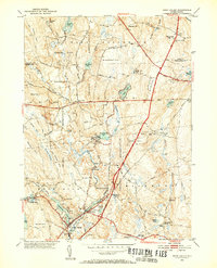
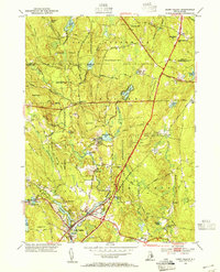
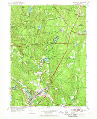
Editions of this 1953 Hope Valley Map
8 editions found
Other maps of this area

1889 · Stonington
USGS Topo · 1:62,500

1889 · Charlestown
USGS Topo · 1:62,500

1889 · Moosup
USGS Topo · 1:62,500

1890 · Kent
USGS Topo · 1:62,500

1893 · Moosup
USGS Topo · 1:62,500

1893 · Stonington
USGS Topo · 1:62,500

1894 · Kent
USGS Topo · 1:62,500

1919 · Charlestown
USGS Topo · 1:62,500

1920 · Moosup
USGS Topo · 1:62,500

1921 · Charlestown
USGS Topo · 1:62,500