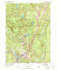
1953 Map of Hope Valley
USGS Topo · Published 1972About this map
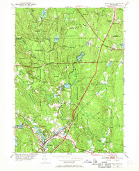
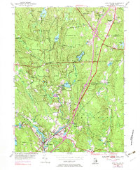
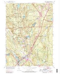
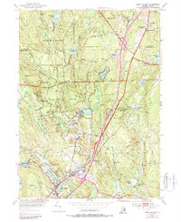
Arcadia Management Area dominates the central landscape of this survey, which captures the rural character of Washington County in the mid-20th century. The settlement patterns reflect a transition between older village centers like Hope Valley and Wyoming and the emerging infrastructure of the Victory Highway. The interior is characterized by a dense network of water bodies and marshlands, including Boon Lake, Browning Mill Pond, and the sprawling Dawley Swamp.
Find a feature on this map
76 named features on this map. Tap any name to fly to it.
Don’t see what you’re looking for? This feature index may not catch every label — zoom into the map to look around manually.
Map Details
Editions of this 1953 Hope Valley Map
8 editions found
Other maps of this area

1889 · Stonington
USGS Topo · 1:62,500

1889 · Charlestown
USGS Topo · 1:62,500

1889 · Moosup
USGS Topo · 1:62,500

1890 · Kent
USGS Topo · 1:62,500

1893 · Moosup
USGS Topo · 1:62,500

1893 · Stonington
USGS Topo · 1:62,500

1894 · Kent
USGS Topo · 1:62,500

1919 · Charlestown
USGS Topo · 1:62,500

1920 · Moosup
USGS Topo · 1:62,500

1921 · Charlestown
USGS Topo · 1:62,500