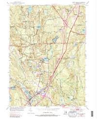
1953 Map of Hope Valley
USGS Topo · Published 1987About this map
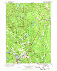
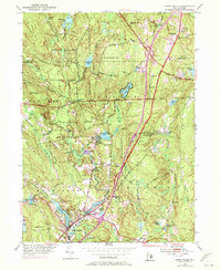
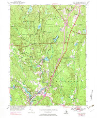
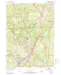
The Wood River flows through the heart of this landscape, powering the industry and settlement patterns of southwestern Rhode Island as they appeared in the early 1950s. The villages of Hope Valley and Wyoming serve as the primary hubs, with smaller hamlets like Barberville and Millville clustered near dammed water bodies such as Locustville Pond and Browning Mill Pond. The region is defined by extensive public lands, including the Arcadia Management Area and Beach Pond State Park, which preserve a mix of glacial terrain and historic family plots like Breakheart Cem and Lillibridge Cem. Linear landmarks such as Ten Rod Road and the Victory Highway cut across the hills, while the Fish Hatchery near Arcadia points to the state's conservation efforts during this era. Traceable family-named peaks like Penny Hill and Nooseneck Hill overlook a network of winding brooks and scattered rural schools.
Find a feature on this map
76 named features on this map. Tap any name to fly to it.
Don’t see what you’re looking for? This feature index may not catch every label — zoom into the map to look around manually.
Map Details
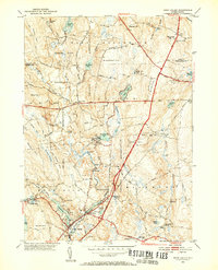
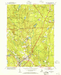
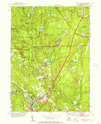
Editions of this 1953 Hope Valley Map
8 editions found
Other maps of this area

1889 · Stonington
USGS Topo · 1:62,500

1889 · Charlestown
USGS Topo · 1:62,500

1889 · Moosup
USGS Topo · 1:62,500

1890 · Kent
USGS Topo · 1:62,500

1893 · Moosup
USGS Topo · 1:62,500

1893 · Stonington
USGS Topo · 1:62,500

1894 · Kent
USGS Topo · 1:62,500

1919 · Charlestown
USGS Topo · 1:62,500

1920 · Moosup
USGS Topo · 1:62,500

1921 · Charlestown
USGS Topo · 1:62,500