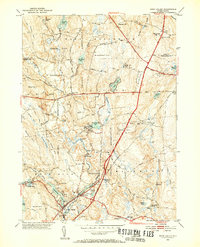
1953 Map of Hope Valley
USGS Topo · Published 1955About this map
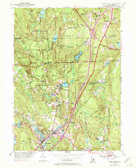
The Wood River and its tributaries shape this mid-century landscape, flowing through concentrated industrial and residential hubs at Hope Valley and Wyoming. These villages served as the primary commercial centers for the surrounding timberlands and hills of the Arcadia Reservation. The map details a transition from dense village life to the protected woodlands of the interior, where names like Moonshine Swamp and Frying Pan Pond suggest the localized character of the terrain.
Find a feature on this map
61 named features on this map. Tap any name to fly to it.
Don’t see what you’re looking for? This feature index may not catch every label — zoom into the map to look around manually.
Map Details
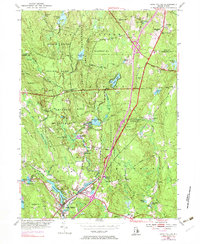
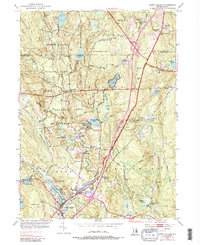
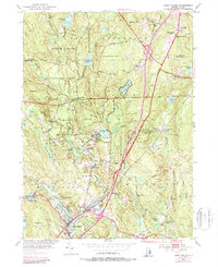
Editions of this 1953 Hope Valley Map
8 editions found
Other maps of this area

1889 · Stonington
USGS Topo · 1:62,500

1889 · Charlestown
USGS Topo · 1:62,500

1889 · Moosup
USGS Topo · 1:62,500

1890 · Kent
USGS Topo · 1:62,500

1893 · Moosup
USGS Topo · 1:62,500

1893 · Stonington
USGS Topo · 1:62,500

1894 · Kent
USGS Topo · 1:62,500

1919 · Charlestown
USGS Topo · 1:62,500

1920 · Moosup
USGS Topo · 1:62,500

1921 · Charlestown
USGS Topo · 1:62,500