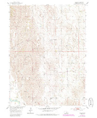
1954 Map of Horace
USGS Topo · Published 1985About this map
Horace serves as the primary focal point of this Greeley County landscape, situated near the confluence of several vital watercourses. The drainage patterns of Wallace Creek, Shephard Creek, and Fish Creek define the local topography, eventually feeding into the North Loup River in the southwestern corner of the quadrangle. This mid-century survey reflects a rural Nebraska community anchored by essential local institutions, including the Glendale Sch and the Pleasant Hill Cem.
Find a feature on this map
9 named features on this map. Tap any name to fly to it.
Don’t see what you’re looking for? This feature index may not catch every label — zoom into the map to look around manually.
Map Details
Editions of this 1954 Horace Map
Other maps of this area

1899 · Loup
USGS Topo · 1:125,000

1953 · North Loup
USGS Topo · 1:24,000

1953 · Scotia NE
USGS Topo · 1:24,000

1953 · Scotia
USGS Topo · 1:24,000

1954 · Ord SE
USGS Topo · 1:24,000

1954 · Ord NE
USGS Topo · 1:24,000

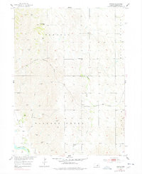
1954 · Horace
USGS Topo · 1:24,000

1954 · Greeley NE
USGS Topo · 1:24,000

1954 · Greeley
USGS Topo · 1:24,000

1954 · Greeley NW
USGS Topo · 1:24,000