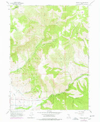
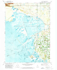
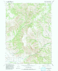
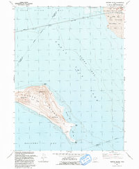
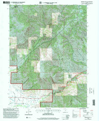
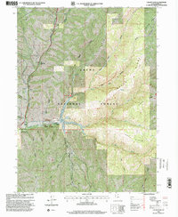
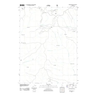
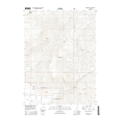
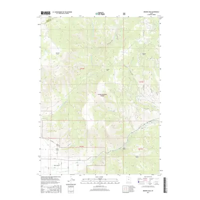
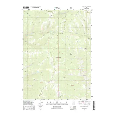
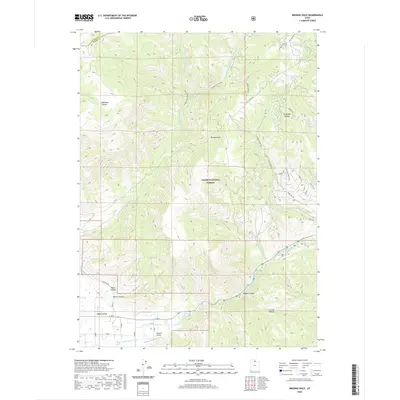
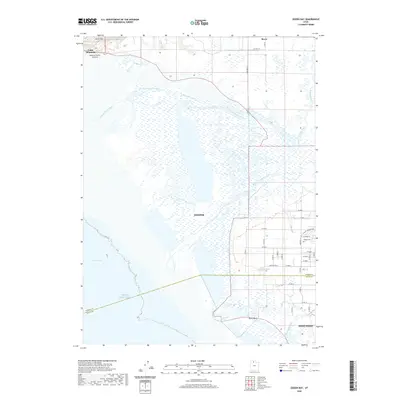
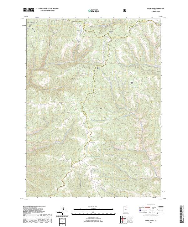
1998 Map of Horse Ridge
USGS Topo · Published 2000About this map
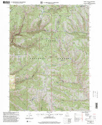
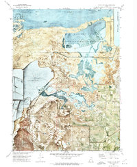
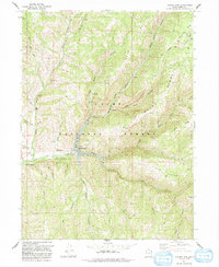
Wasatch Cache National Forest dominates this landscape where the high-altitude boundaries of Rich, Weber, and Morgan counties converge. Revised in the late 1990s, the map reveals a complex drainage network characterized by deep incisions like Frost Canyon and Squaw Canyon that feed toward Lost Creek. Prominent geological landmarks such as Squaw Butte and the extensive Horse Ridge define the vertical relief, while isolated water sources like Wonder Spring and Bear Hollow Springs provide critical points of interest in an otherwise high, arid environment. The presence of several Corral sites and numerous 4wd tracks suggests a landscape primarily utilized for seasonal grazing and timber management. This topographical study illustrates the intricate connection between the ridgelines, including Bald Ridge and Stark Ridge, and the hollows that drain this portion of the northern Wasatch Range.
Find a feature on this map
40 named features on this map. Tap any name to fly to it.
Don’t see what you’re looking for? This feature index may not catch every label — zoom into the map to look around manually.
Map Details
Editions of this 1998 Horse Ridge Map
This is the sole edition of this map. No revisions or reprints were ever made.
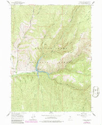
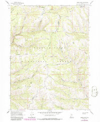
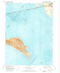
Historical Maps of Weber County Through Time
48 maps found
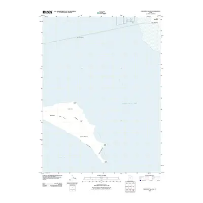
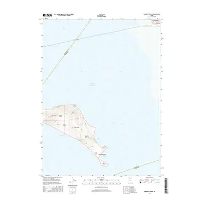
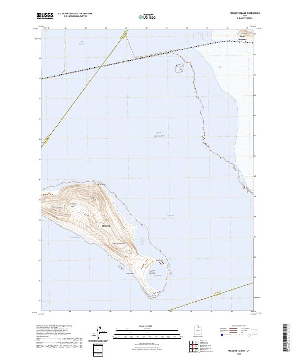
1955 Fremont Island
Weber County, UT
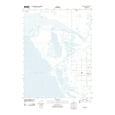
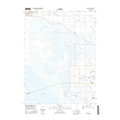
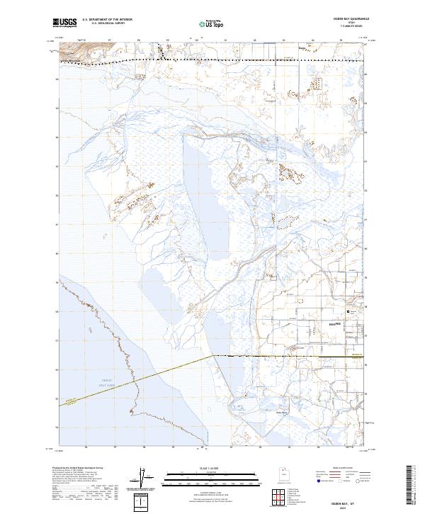
1955 Ogden Bay
Weber County, UT
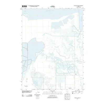
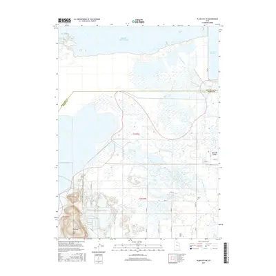
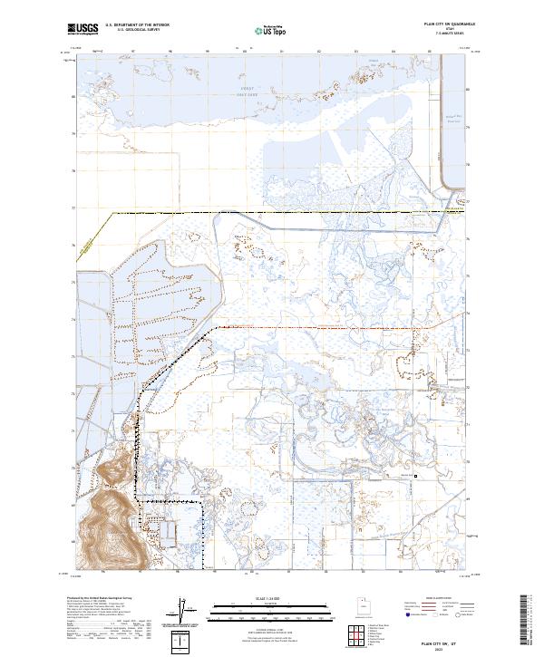
1955 Plain City SW
Weber County, UT
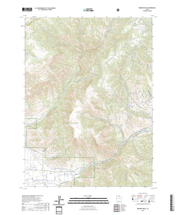
1964 Browns Hole
Weber County, UT
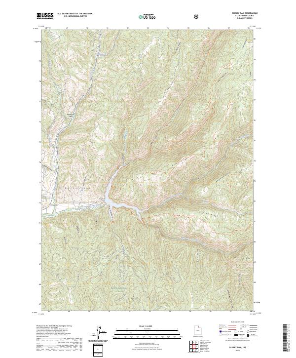
1964 Causey Dam
Weber County, UT
1968 Horse Ridge
Weber County, UT
1972 Fremont Island
Weber County, UT
1972 Ogden Bay
Weber County, UT
1972 Plain City SW
Weber County, UT
1991 Browns Hole
Weber County, UT
1991 Causey Dam
Weber County, UT
1991 Fremont Island
Weber County, UT
1991 Horse Ridge
Weber County, UT
1991 Ogden Bay
Weber County, UT
1991 Plain City SW
Weber County, UT
1998 Browns Hole
Weber County, UT
1998 Causey Dam
Weber County, UT
1998 Horse Ridge
Weber County, UT
2011 Browns Hole
Weber County, UT
2011 Causey Dam
Weber County, UT
2011 Fremont Island
Weber County, UT
2011 Horse Ridge
Weber County, UT
2011 Ogden Bay
Weber County, UT
2011 Plain City SW
Weber County, UT
2014 Browns Hole
Weber County, UT
2014 Causey Dam
Weber County, UT
2014 Fremont Island
Weber County, UT
2014 Horse Ridge
Weber County, UT
2014 Ogden Bay
Weber County, UT
2014 Plain City SW
Weber County, UT
2017 Browns Hole
Weber County, UT
2017 Causey Dam
Weber County, UT
2017 Fremont Island
Weber County, UT
2017 Horse Ridge
Weber County, UT
2017 Ogden Bay
Weber County, UT
2017 Plain City SW
Weber County, UT
2020 Browns Hole
Weber County, UT
2020 Causey Dam
Weber County, UT
2020 Fremont Island
Weber County, UT
2020 Horse Ridge
Weber County, UT
2020 Ogden Bay
Weber County, UT
2020 Plain City SW
Weber County, UT
2023 Browns Hole
Weber County, UT
2023 Causey Dam
Weber County, UT
2023 Fremont Island
Weber County, UT
2023 Horse Ridge
Weber County, UT
2023 Ogden Bay
Weber County, UT
2023 Plain City SW
Weber County, UT