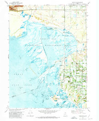
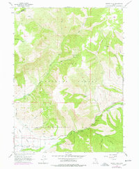
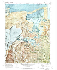
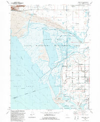
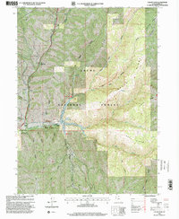
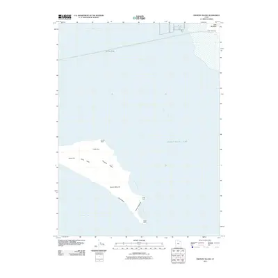
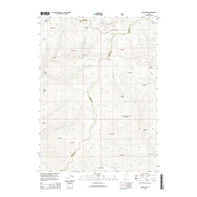
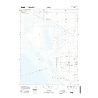
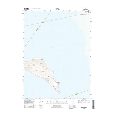
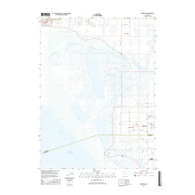
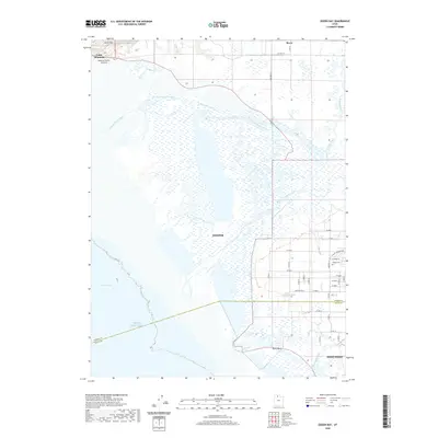
1972 Map of Ogden Bay
USGS Topo · Published 1974About this map
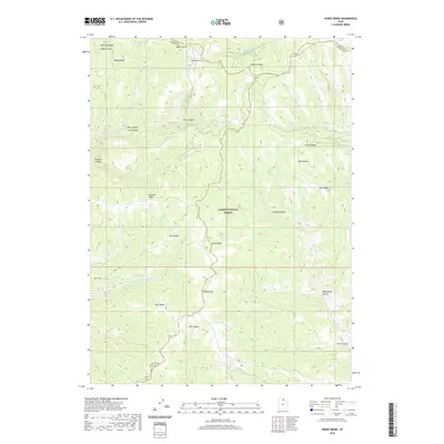
Ogden Bay Waterfowl Management Area dominates the eastern margins of the Great Salt Lake, where the freshwater discharge of the Weber River system meets the saline basin. This orthophotomosaic survey captures a transition in the Utah landscape during the early 1970s, illustrating the complex hydrology of the North Fork, Middle Fork, and South Fork. These channels are managed through a series of dikes and gaging stations to sustain the vast marshes vital to the region's migratory bird populations.
Find a feature on this map
29 named features on this map. Tap any name to fly to it.
Don’t see what you’re looking for? This feature index may not catch every label — zoom into the map to look around manually.
Map Details
Editions of this 1972 Ogden Bay Map
This is the sole edition of this map. No revisions or reprints were ever made.
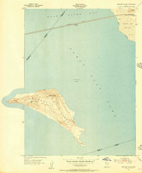
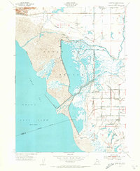
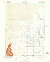
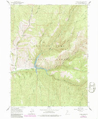
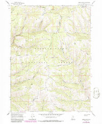
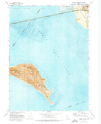
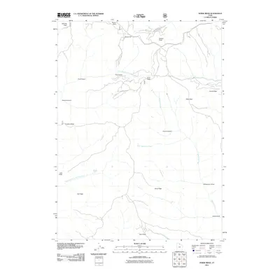
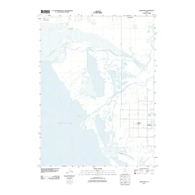
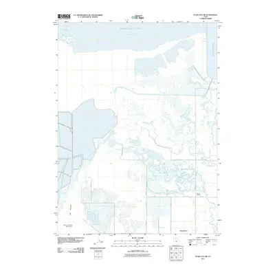
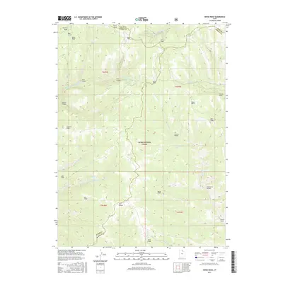
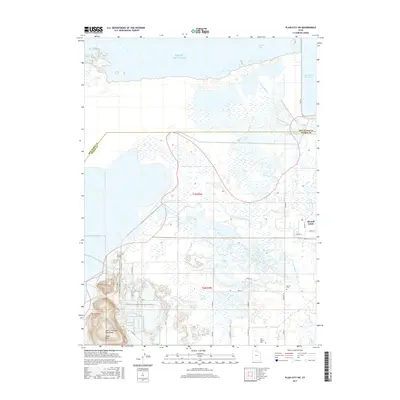
Historical Maps of West Point Through Time
48 maps found
1955 Fremont Island
Weber County, UT
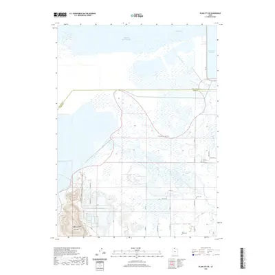
1955 Ogden Bay
Weber County, UT
1955 Plain City SW
Weber County, UT
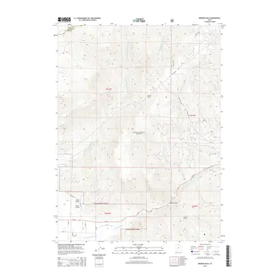
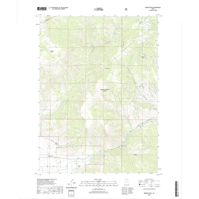
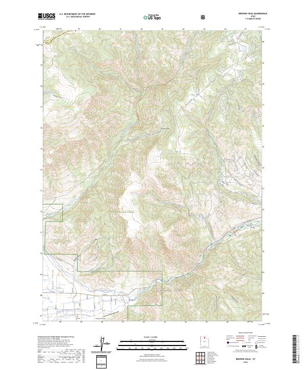
1964 Browns Hole
Weber County, UT
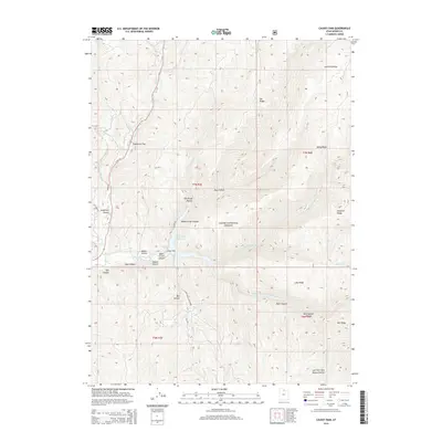
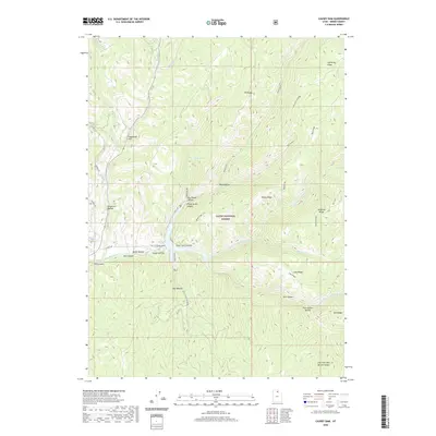
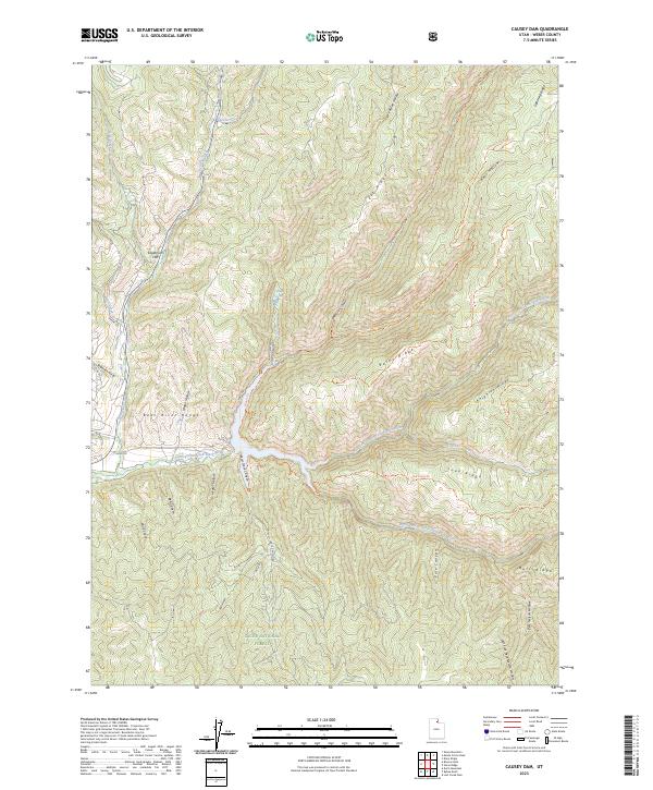
1964 Causey Dam
Weber County, UT
1968 Horse Ridge
Weber County, UT
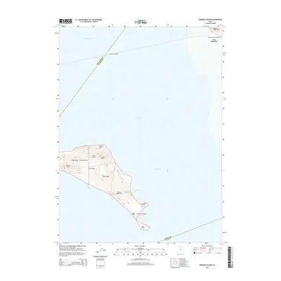
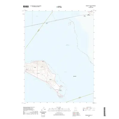
1972 Fremont Island
Weber County, UT
1972 Ogden Bay
Weber County, UT
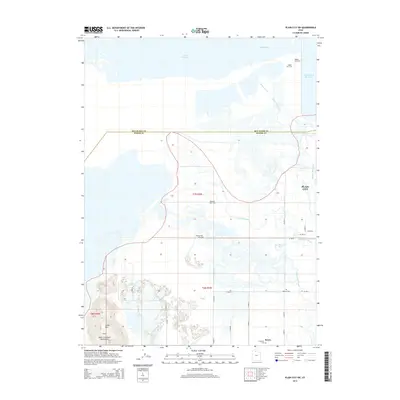
1972 Plain City SW
Weber County, UT
1991 Browns Hole
Weber County, UT
1991 Causey Dam
Weber County, UT
1991 Fremont Island
Weber County, UT
1991 Horse Ridge
Weber County, UT
1991 Ogden Bay
Weber County, UT
1991 Plain City SW
Weber County, UT
1998 Browns Hole
Weber County, UT
1998 Causey Dam
Weber County, UT
1998 Horse Ridge
Weber County, UT
2011 Browns Hole
Weber County, UT
2011 Causey Dam
Weber County, UT
2011 Fremont Island
Weber County, UT
2011 Horse Ridge
Weber County, UT
2011 Ogden Bay
Weber County, UT
2011 Plain City SW
Weber County, UT
2014 Browns Hole
Weber County, UT
2014 Causey Dam
Weber County, UT
2014 Fremont Island
Weber County, UT
2014 Horse Ridge
Weber County, UT
2014 Ogden Bay
Weber County, UT
2014 Plain City SW
Weber County, UT
2017 Browns Hole
Weber County, UT
2017 Causey Dam
Weber County, UT
2017 Fremont Island
Weber County, UT
2017 Horse Ridge
Weber County, UT
2017 Ogden Bay
Weber County, UT
2017 Plain City SW
Weber County, UT
2020 Browns Hole
Weber County, UT
2020 Causey Dam
Weber County, UT
2020 Fremont Island
Weber County, UT
2020 Horse Ridge
Weber County, UT
2020 Ogden Bay
Weber County, UT
2020 Plain City SW
Weber County, UT
2023 Browns Hole
Weber County, UT
2023 Causey Dam
Weber County, UT
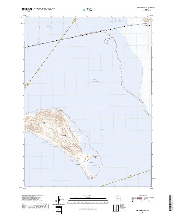
2023 Fremont Island
Weber County, UT
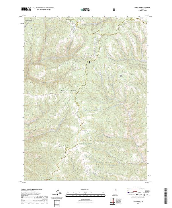
2023 Horse Ridge
Weber County, UT
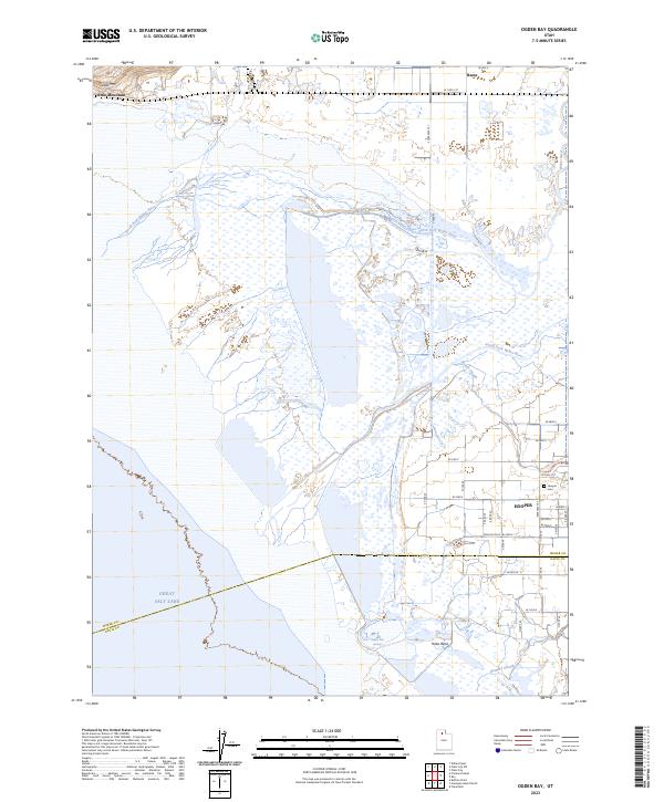
2023 Ogden Bay
Weber County, UT
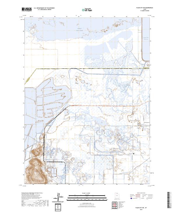
2023 Plain City SW
Weber County, UT