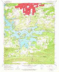
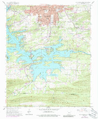
1966 Map of Hot Springs South
USGS Topo · Published 1967About this map
Hot Springs dominates the northern reaches of this mid-1960s survey, showing a transition from the urban density of the Oaklawn Racetrack and Hot Springs Memorial Airport to the sprawling waterways of Lake Hamilton. The intricate shoreline of the Ouachita River system defines the central landscape, where numerous recreational and residential developments such as the Lake Hamilton settlement are established. Further south, the terrain rises toward Trap Mountain and the ridge of De Roche, providing a sharp contrast to the developed corridors of the Missouri Pacific railroad. Genealogists and local historians can locate many rural landmarks, including the New Hope Ch, the Hollywood Cemetery, and smaller family burial sites like the Spurlin Cem. The presence of the Fish Hatchery and the County Fairground reflects the diverse land use of Garland and Hot Spring counties during this era.
Find a feature on this map
56 named features on this map. Tap any name to fly to it.
Don’t see what you’re looking for? This feature index may not catch every label — zoom into the map to look around manually.
Map Details
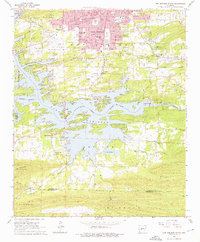
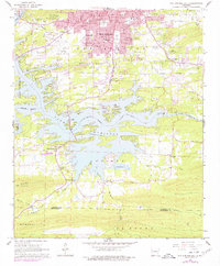
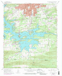
Editions of this 1966 Hot Springs South Map
5 editions found
Other maps of this area

1890 · Benton
USGS Topo · 1:125,000

1890 · Hot Springs
USGS Topo · 1:125,000

1894 · Hot Springs
USGS Topo · 1:125,000

1894 · Benton
USGS Topo · 1:125,000

1948 · Malvern
USGS Topo · 1:62,500

1949 · Malvern
USGS Topo · 1:62,500

1955 · Little Rock
USGS Topo · 1:250,000

1956 · Little Rock
USGS Topo · 1:250,000

1960 · Little Rock
USGS Topo · 1:250,000

1964 · Little Rock
USGS Topo · 1:250,000