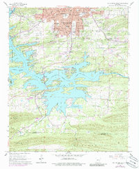
1966 Map of Hot Springs South
USGS Topo · Published 1989About this map
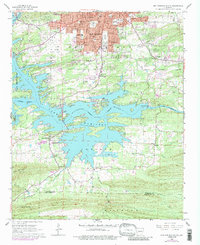
The sprawling southern outskirts of Hot Springs meet the intricate shorelines of Lake Hamilton and Lake Catherine in this mid-1960s survey. The landscape is defined by the Quachita River corridor, managed by infrastructure like Carpenter Dam and a large Fish Hatchery. Urban growth is evident through the expansion of neighborhood schools such as Oaklawn Sch and the development of transportation hubs like Hot Springs Memorial Field.
Find a feature on this map
55 named features on this map. Tap any name to fly to it.
Don’t see what you’re looking for? This feature index may not catch every label — zoom into the map to look around manually.
Map Details
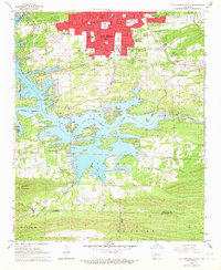
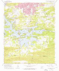
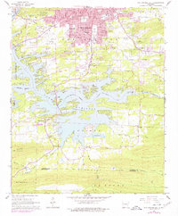
Editions of this 1966 Hot Springs South Map
5 editions found
Other maps of this area

1890 · Benton
USGS Topo · 1:125,000

1890 · Hot Springs
USGS Topo · 1:125,000

1894 · Hot Springs
USGS Topo · 1:125,000

1894 · Benton
USGS Topo · 1:125,000

1948 · Malvern
USGS Topo · 1:62,500

1949 · Malvern
USGS Topo · 1:62,500

1955 · Little Rock
USGS Topo · 1:250,000

1956 · Little Rock
USGS Topo · 1:250,000

1960 · Little Rock
USGS Topo · 1:250,000

1964 · Little Rock
USGS Topo · 1:250,000