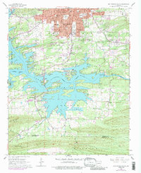
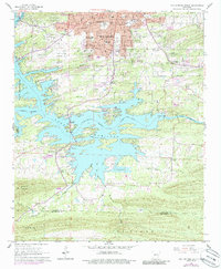
1966 Map of Hot Springs South
USGS Topo · Published 1986About this map
Hot Springs dominates the northern portion of this map, revealing the city's southern expansion and recreational infrastructure as it appeared in the mid-1960s and 1970s. The landscape is defined by the extensive waters of Lake Hamilton, where a complex shoreline is dotted with residential development and landmarks like the Antioch Fish Hatchery. The presence of Carpenter Dam and the Lake Catherine reservoir illustrate the region's managed water systems and hydroelectric development. Further south, the terrain transitions into the forested slopes of Trap Mountain, where a lookout tower stands watch over the Garland and Hot Spring county line.
Find a feature on this map
58 named features on this map. Tap any name to fly to it.
Don’t see what you’re looking for? This feature index may not catch every label — zoom into the map to look around manually.
Map Details
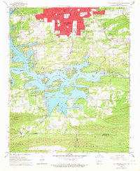
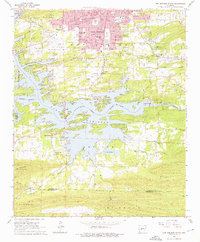
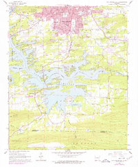
Editions of this 1966 Hot Springs South Map
5 editions found
Other maps of this area

1890 · Benton
USGS Topo · 1:125,000

1890 · Hot Springs
USGS Topo · 1:125,000

1894 · Hot Springs
USGS Topo · 1:125,000

1894 · Benton
USGS Topo · 1:125,000

1948 · Malvern
USGS Topo · 1:62,500

1949 · Malvern
USGS Topo · 1:62,500

1955 · Little Rock
USGS Topo · 1:250,000

1956 · Little Rock
USGS Topo · 1:250,000

1960 · Little Rock
USGS Topo · 1:250,000

1964 · Little Rock
USGS Topo · 1:250,000