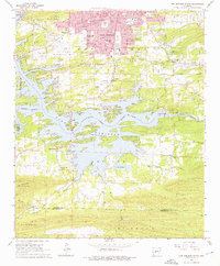
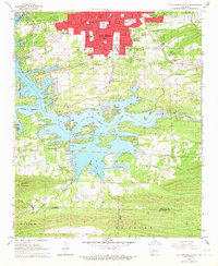
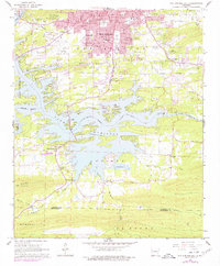
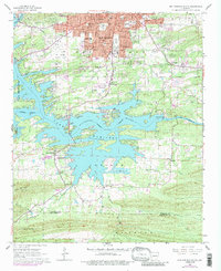
1966 Map of Hot Springs South
USGS Topo · Published 1976About this map
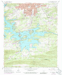
The Lake Hamilton shoreline dominates this 1960s landscape, illustrating the development of Garland County south of the Hot Springs urban core. The map documents a transition from the city's southern residential and industrial fringes—marked by the Missouri Pacific railroad and the Hot Springs Memorial Airport—to the expansive water bodies of the Ouachita River system. A significant concentration of community infrastructure is visible along the northern edge, including the Southwest Jr High Sch and Gardner Sch.
Find a feature on this map
55 named features on this map. Tap any name to fly to it.
Don’t see what you’re looking for? This feature index may not catch every label — zoom into the map to look around manually.
Map Details
Editions of this 1966 Hot Springs South Map
5 editions found
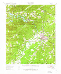
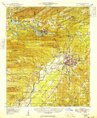
Other maps of this area

1890 · Benton
USGS Topo · 1:125,000

1890 · Hot Springs
USGS Topo · 1:125,000

1894 · Hot Springs
USGS Topo · 1:125,000

1894 · Benton
USGS Topo · 1:125,000
1948 · Malvern
USGS Topo · 1:62,500
1949 · Malvern
USGS Topo · 1:62,500

1955 · Little Rock
USGS Topo · 1:250,000

1956 · Little Rock
USGS Topo · 1:250,000

1960 · Little Rock
USGS Topo · 1:250,000

1964 · Little Rock
USGS Topo · 1:250,000