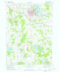
1968 Map of Howell
USGS Topo · Published 1976About this map
The city of Howell serves as the hub of this mid-Michigan landscape, where the Chesapeake and Ohio railroad line cuts through a mix of urban development and extensive wetlands. By the late 1960s, the area's infrastructure included McPherson Hospital, numerous local schools like Northwest Sch and Southwest Sch, and the sprawling Howell State Hospital grounds to the southwest. The geography is defined by a dense network of kettle lakes and rivers, including Thompson Lake and the South Branch Shiawassee River, which shape the local boundaries of Marion and Genoa townships.
Find a feature on this map
90 named features on this map. Tap any name to fly to it.
Don’t see what you’re looking for? This feature index may not catch every label — zoom into the map to look around manually.
Map Details
Editions of this 1968 Howell Map
3 editions found
Other maps of this area

1902 · Dexter
USGS Topo · 1:62,500

1904 · Ann Arbor
USGS Topo · 1:125,000

1906 · Dexter
USGS Topo · 1:62,500

1907 · Howell
USGS Topo · 1:62,500

1908 · Ann Arbor
USGS Topo · 1:125,000

1908 · Fowlerville
USGS Topo · 1:62,500

1909 · Howell
USGS Topo · 1:62,500

1910 · Fowlerville
USGS Topo · 1:62,500

1919 · Stockbridge
USGS Topo · 1:62,500

1922 · Stockbridge
USGS Topo · 1:62,500