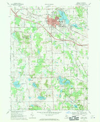
1968 Map of Howell
USGS Topo · Published 1970About this map
Howell serves as the central hub of Livingston County in this late-1960s survey, showing a landscape transitioning between its agricultural roots and modern industrial development. The town's grid is anchored by the Courthouse, City Hall, and the Armory, while medical and social services are prominently represented by McPherson Hospital and the sprawling Howell State Hospital complex to the southwest. Transportation patterns are defined by the Chesapeake and Ohio railroad corridor and a network of arterial roads like Ann Arbor Road and Mason Road.
Find a feature on this map
69 named features on this map. Tap any name to fly to it.
Don’t see what you’re looking for? This feature index may not catch every label — zoom into the map to look around manually.
Map Details
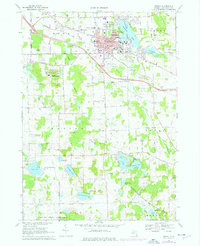
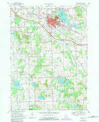
Editions of this 1968 Howell Map
3 editions found
Other maps of this area

1902 · Dexter
USGS Topo · 1:62,500

1904 · Ann Arbor
USGS Topo · 1:125,000

1906 · Dexter
USGS Topo · 1:62,500

1907 · Howell
USGS Topo · 1:62,500

1908 · Ann Arbor
USGS Topo · 1:125,000

1908 · Fowlerville
USGS Topo · 1:62,500

1909 · Howell
USGS Topo · 1:62,500

1910 · Fowlerville
USGS Topo · 1:62,500

1919 · Stockbridge
USGS Topo · 1:62,500

1922 · Stockbridge
USGS Topo · 1:62,500