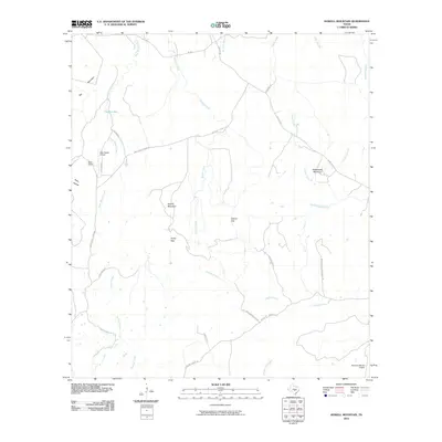
2010 Map of Howell Mountain
USGS Topo · Published 2010About this map
Howell Mountain and Rattlesnake Mountain anchor this central Texas landscape, where large cattle ranching operations and private airfields define the modern geography. The map reveals a network of namesake ranch roads such as Smith West Ranch Rd, Herfe Ranch Rd, and Mountain Pasture Ranch Rd, indicating the persistence of large-scale landholdings in Blanco County. The drainage patterns of Cypress Creek and its northern branch weave through the limestone terrain, creating natural crossings like Porter Gap and Casner Gap. These gaps served as critical passage points through the higher elevations of the Pedernales River basin long before modern pavement. Settlement remains sparse, concentrated near the West Ranch area and supported by private infrastructure like the West Ranch Airport and Moursund Ranch Airport to the southeast.
Find a feature on this map
33 named features on this map. Tap any name to fly to it.
Don’t see what you’re looking for? This feature index may not catch every label — zoom into the map to look around manually.
Map Details
Editions of this 2010 Howell Mountain Map
This is the sole edition of this map. No revisions or reprints were ever made.
Other maps of this area

1887 · Llano
USGS Topo · 1:125,000

1887 · Blanco
USGS Topo · 1:125,000

1887 · Burnet
USGS Topo · 1:125,000

1893 · Burnet
USGS Topo · 1:125,000

1894 · Fredericksburg
USGS Topo · 1:125,000

1894 · Blanco
USGS Topo · 1:125,000

1894 · Llano
USGS Topo · 1:125,000

1903 · Burnet
USGS Topo · 1:125,000

1904 · Llano
USGS Topo · 1:125,000

1909 · Llano
USGS Topo · 1:125,000