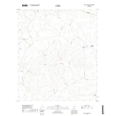
2019 Map of Howell Mountain
USGS Topo · Published 2019About this map
The Great Divide crosses the high country of the Texas Hill Country on this 2019 survey, where the drainages of Cypress Creek and North Cypress Creek flow eastward toward the Pedernales basin. The topography is defined by prominent elevations like Howell Mountain and Round Mountain, with natural passages through the ridges at Porter Gap and Casner Gap. Private ranching and aviation interests shape the modern landscape, evidenced by the Moursund Ranch Airport and West Ranch Airport. This map illustrates the intersection of traditional Texas ranch lands with late-20th-century development, as seen in the network of local ranch roads like Rob Crider Ranch Road and Mountain Pasture Ranch Road that wind through the hills of Blanco and Llano Counties.
Find a feature on this map
40 named features on this map. Tap any name to fly to it.
Don’t see what you’re looking for? This feature index may not catch every label — zoom into the map to look around manually.
Map Details
Editions of this 2019 Howell Mountain Map
This is the sole edition of this map. No revisions or reprints were ever made.
Other maps of this area

1887 · Llano
USGS Topo · 1:125,000

1887 · Blanco
USGS Topo · 1:125,000

1887 · Burnet
USGS Topo · 1:125,000

1893 · Burnet
USGS Topo · 1:125,000

1894 · Fredericksburg
USGS Topo · 1:125,000

1894 · Blanco
USGS Topo · 1:125,000

1894 · Llano
USGS Topo · 1:125,000

1903 · Burnet
USGS Topo · 1:125,000

1904 · Llano
USGS Topo · 1:125,000

1909 · Llano
USGS Topo · 1:125,000