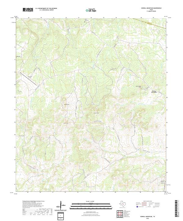
2022 Map of Howell Mountain
USGS Topo · Published 2022About this map
Howell Mountain and the surrounding Hill Country topography of central Texas define this 2022 survey. Located along the boundary of Llano and Blanco counties, the landscape is characterized by a series of prominent peaks and ridgelines, including Comanche Ridge, Rattlesnake Mountain, and Big Mountain. These heights are separated by significant passages such as Casner Gap and Porter Gap, reflecting the complex drainage patterns of waterways like Cypress Creek, Walnut Creek, and Pecan Creek.
Find a feature on this map
41 named features on this map. Tap any name to fly to it.
Don’t see what you’re looking for? This feature index may not catch every label — zoom into the map to look around manually.
Map Details
Editions of this 2022 Howell Mountain Map
This is the sole edition of this map. No revisions or reprints were ever made.
Other maps of this area

1887 · Llano
USGS Topo · 1:125,000

1887 · Blanco
USGS Topo · 1:125,000

1887 · Burnet
USGS Topo · 1:125,000

1893 · Burnet
USGS Topo · 1:125,000

1894 · Fredericksburg
USGS Topo · 1:125,000

1894 · Blanco
USGS Topo · 1:125,000

1894 · Llano
USGS Topo · 1:125,000

1903 · Burnet
USGS Topo · 1:125,000

1904 · Llano
USGS Topo · 1:125,000

1909 · Llano
USGS Topo · 1:125,000