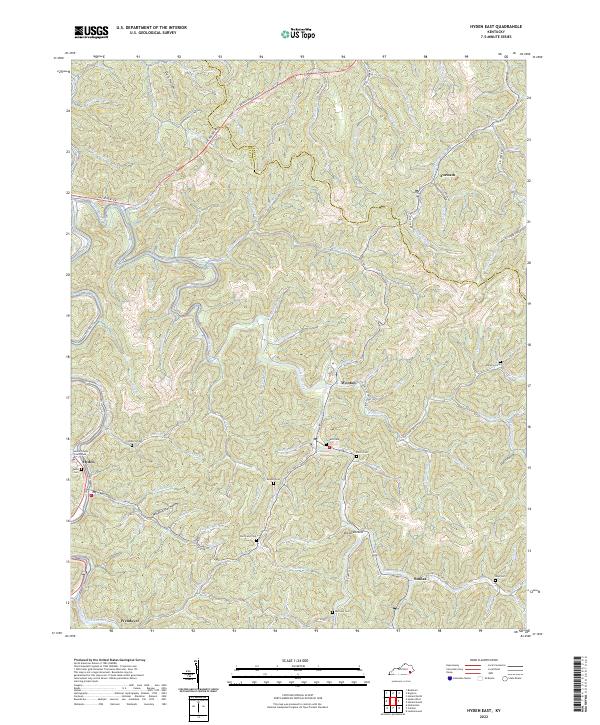
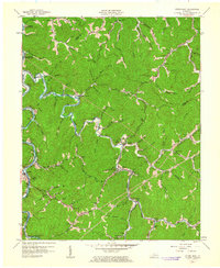
2022 Map of Hyden East
USGS Topo · Published 2022About this map
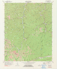
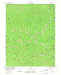
Hyden serves as the focal point for this eastern Kentucky landscape, where the Leslie County Courthouse anchors the local seat of government. The terrain is defined by the winding course of Cutshin Creek and its many tributaries, including Wooton Cr and MacIntosh Cr. This survey illustrates the intricate relationship between the mountainous topography and the network of hollows, such as Winding Star Hollow and Davis Hollow, which dictate the placement of local roads and family settlements.
Find a feature on this map
86 named features on this map. Tap any name to fly to it.
Don’t see what you’re looking for? This feature index may not catch every label — zoom into the map to look around manually.
Map Details
Editions of this 2022 Hyden East Map
This is the sole edition of this map. No revisions or reprints were ever made.
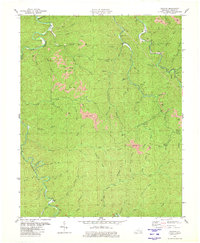
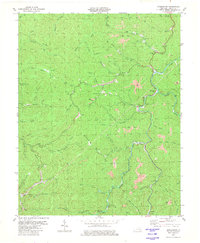
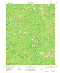
Historical Maps of Toulouse Through Time
19 maps found
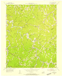
1953 Hyden West
Leslie County, KY
1954 Cutshin
Leslie County, KY

1954 Helton
Leslie County, KY
1954 Hoskinston
Leslie County, KY
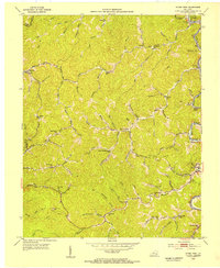
1954 Hyden East
Leslie County, KY
1954 Leatherwood
Leslie County, KY
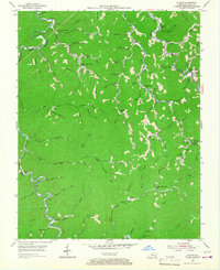
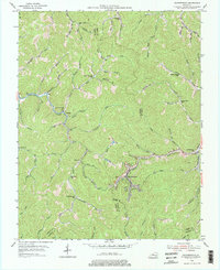
1961 Hyden East
Leslie County, KY
1961 Hyden West
Leslie County, KY
1974 Helton
Leslie County, KY
1980 Cutshin
Leslie County, KY
1980 Hoskinston
Leslie County, KY
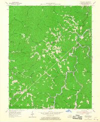
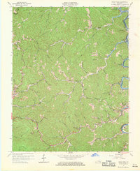
1980 Hyden East
Leslie County, KY
1980 Hyden West
Leslie County, KY
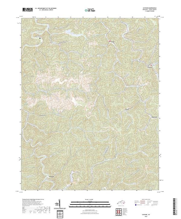
2022 Cutshin
Leslie County, KY
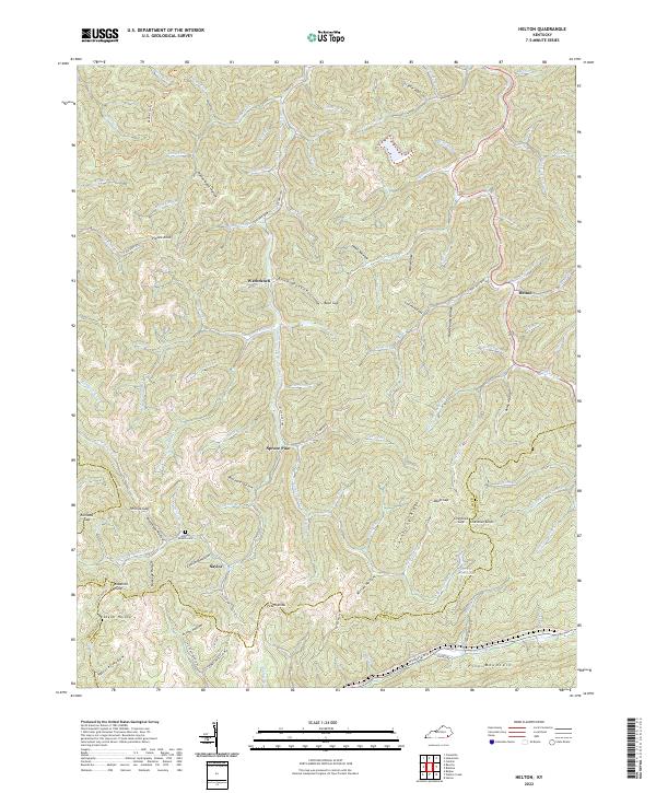
2022 Helton
Leslie County, KY
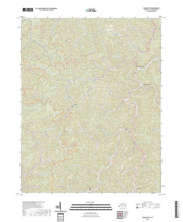
2022 Hoskinston
Leslie County, KY
2022 Hyden East
Leslie County, KY
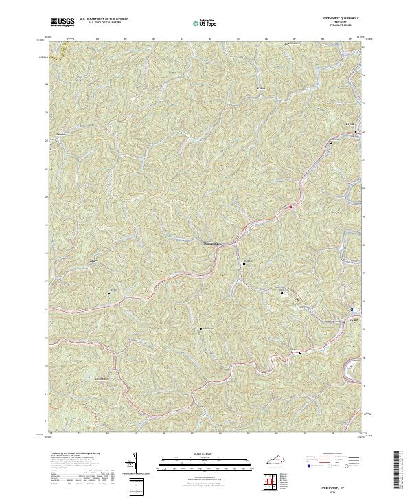
2022 Hyden West
Leslie County, KY
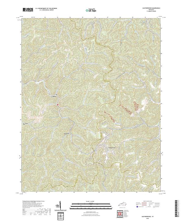
2022 Leatherwood
Leslie County, KY