
1954 Map of Iditarod C-5
USGS Topo · Published 1964About this map
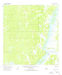
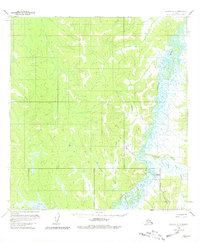
Iditarod (Aban'd) sits at the edge of the winding Iditarod River, marking a point of transition in a landscape defined by its intricate waterways and seasonal transport routes. This 1950s survey documents the region as a wilderness of wetlands and uplands, where the complex meanders of the river are fed by tributaries like Franklin Creek, Julie Creek, and Caribou Creek. The presence of a Tramway leading toward the abandoned settlement and a Winter Trail cutting across the western ridges reflects the era's reliance on specialized infrastructure to navigate the interior. These features highlight a time when gold-rush era hubs had begun to recede into the landscape, yet remained connected to the larger world through established seasonal paths and industrial remnants.
Find a feature on this map
9 named features on this map. Tap any name to fly to it.
Don’t see what you’re looking for? This feature index may not catch every label — zoom into the map to look around manually.
Map Details
Editions of this 1954 Iditarod C-5 Map
3 editions found
Other maps of this area

1951 · Iditarod
USGS Topo · 1:250,000

1954 · Iditarod D-6
USGS Topo · 1:63,360

1954 · Iditarod C-4
USGS Topo · 1:63,360

1954 · Iditarod B-5
USGS Topo · 1:63,360
1954 · Iditarod C-6
USGS Topo · 1:63,360

1954 · Iditarod D-5
USGS Topo · 1:63,360

1954 · Iditarod B-4
USGS Topo · 1:63,360

1954 · Iditarod D-4
USGS Topo · 1:63,360
1954 · Iditarod B-6
USGS Topo · 1:63,360

1956 · Iditarod
USGS Topo · 1:250,000