
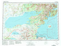
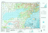
1957 Map of Iliamna
USGS Topo · Published 1965About this map
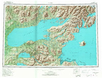
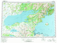
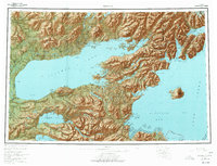
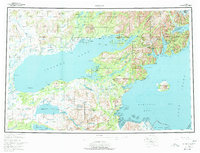
Iliamna Lake dominates this mid-century landscape, serving as the central hub for a network of subsistence settlements and remote landing areas. At the eastern end of the lake, villages like Pile Bay Village and Old Iliamna mark the transition toward the Aleutian Range and the coast. The settlement pattern here is deeply tied to the water, with Newhalen and Igiugig positioned at key drainage points where the lake's massive volume feeds into the regional river systems.
Find a feature on this map
68 named features on this map. Tap any name to fly to it.
Don’t see what you’re looking for? This feature index may not catch every label — zoom into the map to look around manually.
Map Details
Editions of this 1957 Iliamna Map
7 editions found
Other maps of this area

1944 · Kenai
USGS Topo · 1:250,000

1946 · Lake Clark
USGS Topo · 1:250,000

1948 · Mt Katmai
USGS Topo · 1:250,000

1949 · Iliamna C-1
USGS Topo · 1:63,360

1950 · Kenai
USGS Topo · 1:250,000

1950 · Taylor Mountains
USGS Topo · 1:250,000

1951 · Lake Clark
USGS Topo · 1:250,000

1951 · Taylor Mountains
USGS Topo · 1:250,000

1951 · Dillingham
USGS Topo · 1:250,000

1951 · Mt Katmai
USGS Topo · 1:250,000