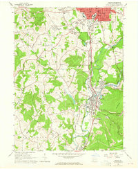
1963 Map of Indiana
USGS Topo · Published 1965About this map
The borough of Indiana serves as a dense hub of civic and industrial activity in this mid-century survey, characterized by its concentrated grid of streets, the Courthouse, and several educational institutions including the Lamar High Sch. To the south, the landscape is defined by the heavy industry of coal and rail, where the Pennsylvania and Baltimore and Ohio railroads converge at Homer City and Coy Junction. This area shows the extent of resource extraction with multiple Strip Mines and the presence of the Lucerne Mines complex near Yellow Creek.
Find a feature on this map
66 named features on this map. Tap any name to fly to it.
Don’t see what you’re looking for? This feature index may not catch every label — zoom into the map to look around manually.
Map Details
Editions of this 1963 Indiana Map
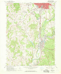
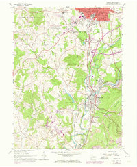
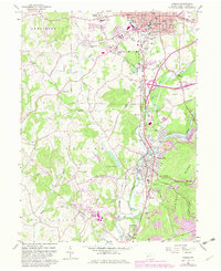
4 editions found
Other maps of this area

1900 · Latrobe
USGS Topo · 1:62,500

1902 · Latrobe
USGS Topo · 1:62,500

1902 · Indiana
USGS Topo · 1:62,500

1902 · Elders Ridge
USGS Topo · 1:62,500

1903 · Latrobe
USGS Topo · 1:62,500

1904 · Elders Ridge
USGS Topo · 1:62,500

1920 · New Florence
USGS Topo · 1:62,500

1921 · New Florence
USGS Topo · 1:48,000

1922 · New Florence
USGS Topo · 1:62,500

1944 · New Florence
USGS Topo · 1:62,500