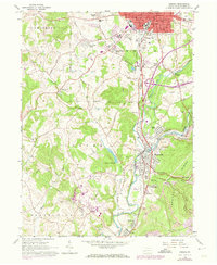
1963 Map of Indiana
USGS Topo · Published 1973About this map
Indiana serves as the hub of this mid-century survey, surrounded by suburban and industrial growth that pushed into the surrounding hills during the 1960s and early 1970s. The landscape is a complex mix of residential expansion in places like Getty Heights and Shado-wood Village, contrasted by the heavy industrial footprint of the coal industry. Rail transport is central to the area's economy, with the Penn Central and Baltimore and Ohio railroads following the valleys of Two Lick Creek and Yellow Creek. Evidence of extraction is visible at the Lucerne Mines, where a Powerhouse and Mine Dump sit near the confluence of the creeks. Further south, Homer City stands as a significant industrial node, while rural corners preserve older local history through sites like the Willard Orphanage County Home and family-named landmarks such as the Smathers Cem and Kunkle Cem.
Find a feature on this map
60 named features on this map. Tap any name to fly to it.
Don’t see what you’re looking for? This feature index may not catch every label — zoom into the map to look around manually.
Map Details
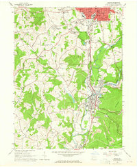
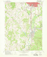
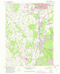
Editions of this 1963 Indiana Map
4 editions found
Other maps of this area

1900 · Latrobe
USGS Topo · 1:62,500

1902 · Latrobe
USGS Topo · 1:62,500

1902 · Indiana
USGS Topo · 1:62,500

1902 · Elders Ridge
USGS Topo · 1:62,500

1903 · Latrobe
USGS Topo · 1:62,500

1904 · Elders Ridge
USGS Topo · 1:62,500

1920 · New Florence
USGS Topo · 1:62,500

1921 · New Florence
USGS Topo · 1:48,000

1922 · New Florence
USGS Topo · 1:62,500

1944 · New Florence
USGS Topo · 1:62,500