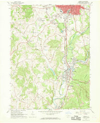
1963 Map of Indiana
USGS Topo · Published 1969About this map
The industrial and residential growth of Indiana and its surrounding townships is captured here in the early 1960s. The landscape is defined by the convergence of the Pennsylvania and Baltimore And Ohio railroads, which facilitated the local coal economy. This is most evident at the Lucerne Mines, where extensive infrastructure including a Powerhouse, Mine Dump, and Sludge Pit sit alongside the rail corridors. These industrial zones contrast with the expanding suburban footprints of Claypoole Heights, Shado-wood Village, and Indian Springs Estates.
Find a feature on this map
68 named features on this map. Tap any name to fly to it.
Don’t see what you’re looking for? This feature index may not catch every label — zoom into the map to look around manually.
Map Details
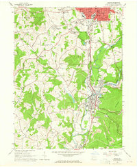
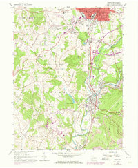
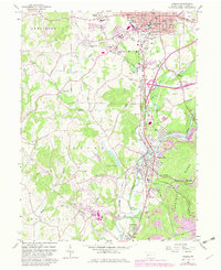
Editions of this 1963 Indiana Map
4 editions found
Other maps of this area

1900 · Latrobe
USGS Topo · 1:62,500

1902 · Latrobe
USGS Topo · 1:62,500

1902 · Indiana
USGS Topo · 1:62,500

1902 · Elders Ridge
USGS Topo · 1:62,500

1903 · Latrobe
USGS Topo · 1:62,500

1904 · Elders Ridge
USGS Topo · 1:62,500

1920 · New Florence
USGS Topo · 1:62,500

1921 · New Florence
USGS Topo · 1:48,000

1922 · New Florence
USGS Topo · 1:62,500

1944 · New Florence
USGS Topo · 1:62,500