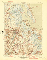
1945 Map of Ipswich
USGS Topo · Published 1945About this map
Salt marshes and tidal channels dominate the coastline of Essex County in this mid-century survey. The town of Ipswich serves as the inland anchor, where the Ipswich River winds toward the sea past landmarks like Heartbreak Hill and Treadwell Island. The map meticulously details the complex hydrology of the region, from the Rowley River in the north to the Essex River in the south, illustrating the numerous islands such as Hog Island and Choate Island that characterize these estuaries.
Find a feature on this map
84 named features on this map. Tap any name to fly to it.
Don’t see what you’re looking for? This feature index may not catch every label — zoom into the map to look around manually.
Map Details
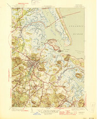
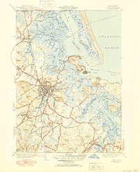
Editions of this 1945 Ipswich Map
3 editions found
Other maps of this area

1886 · Gloucester
USGS Topo · 1:62,500

1888 · Newburyport
USGS Topo · 1:62,500

1888 · Gloucester
USGS Topo · 1:62,500

1888 · Salem
USGS Topo · 1:62,500

1890 · Newburyport
USGS Topo · 1:62,500

1893 · Salem
USGS Topo · 1:62,500

1893 · Gloucester
USGS Topo · 1:62,500

1894 · Newburyport
USGS Topo · 1:62,500

1917 · Salem
USGS Topo · 1:62,500

1918 · Gloucester
USGS Topo · 1:62,500