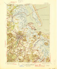
1945 Map of Ipswich
USGS Topo · Published 1945About this map
The coastal town of Ipswich serves as the focal point of this 1940s-era study, situated at the confluence of the Ipswich River and several tidal estuaries. The landscape is defined by its intricate shoreline, where the Plum Island Sound separates the mainland from the barrier beach of Plum Island. Maritime infrastructure is prominent, including the Plum Island CG Station and the developed heights of Great Neck, Little Neck, and Castle Hill.
Find a feature on this map
99 named features on this map. Tap any name to fly to it.
Don’t see what you’re looking for? This feature index may not catch every label — zoom into the map to look around manually.
Map Details
Editions of this 1945 Ipswich Map
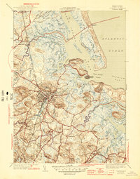
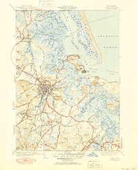
3 editions found
Other maps of this area

1886 · Gloucester
USGS Topo · 1:62,500

1888 · Newburyport
USGS Topo · 1:62,500

1888 · Gloucester
USGS Topo · 1:62,500

1888 · Salem
USGS Topo · 1:62,500

1890 · Newburyport
USGS Topo · 1:62,500

1893 · Salem
USGS Topo · 1:62,500

1893 · Gloucester
USGS Topo · 1:62,500

1894 · Newburyport
USGS Topo · 1:62,500

1917 · Salem
USGS Topo · 1:62,500

1918 · Gloucester
USGS Topo · 1:62,500