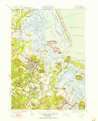
1950 Map of Ipswich
USGS Topo · Published 1956About this map
Tidal estuaries and glacial drumlins characterize the landscape of coastal Massachusetts in the mid-20th century. The town of Ipswich serves as a central hub, where the Boston and Maine railroad crosses the Ipswich River near the historic center. The surrounding terrain is a complex network of salt marshes and creeks, including Sir Goose Creek and Metcalf Creek, which weave between numerous named rises like Heartbreak Hill and Timber Hill.
Find a feature on this map
128 named features on this map. Tap any name to fly to it.
Don’t see what you’re looking for? This feature index may not catch every label — zoom into the map to look around manually.
Map Details
Editions of this 1950 Ipswich Map
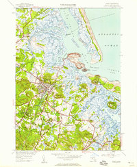
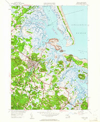
3 editions found
Other maps of this area

1886 · Gloucester
USGS Topo · 1:62,500

1888 · Newburyport
USGS Topo · 1:62,500

1888 · Gloucester
USGS Topo · 1:62,500

1888 · Salem
USGS Topo · 1:62,500

1890 · Newburyport
USGS Topo · 1:62,500

1893 · Salem
USGS Topo · 1:62,500

1893 · Gloucester
USGS Topo · 1:62,500

1894 · Newburyport
USGS Topo · 1:62,500

1917 · Salem
USGS Topo · 1:62,500

1918 · Gloucester
USGS Topo · 1:62,500