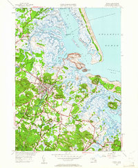
1950 Map of Ipswich
USGS Topo · Published 1961About this map
The coastal salt marshes and drumlins of Essex County define this 1950 revision, where the Ipswich River meets the sea at Ipswich Bay. The intricate network of tidal waterways, including Plum Island Sound, the Rowley River, and Castle River, frames a landscape of historic island elevations such as Hog Island and Eagle Hill. The settlement of Ipswich serves as a central hub, connected to the surrounding countryside by roads like Argilla Road and the Boston and Maine railroad line.
Find a feature on this map
95 named features on this map. Tap any name to fly to it.
Don’t see what you’re looking for? This feature index may not catch every label — zoom into the map to look around manually.
Map Details
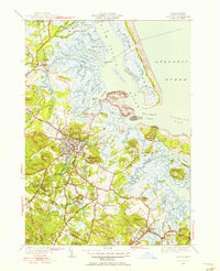
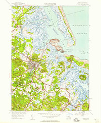
Editions of this 1950 Ipswich Map
3 editions found
Other maps of this area

1886 · Gloucester
USGS Topo · 1:62,500

1888 · Newburyport
USGS Topo · 1:62,500

1888 · Gloucester
USGS Topo · 1:62,500

1888 · Salem
USGS Topo · 1:62,500

1890 · Newburyport
USGS Topo · 1:62,500

1893 · Salem
USGS Topo · 1:62,500

1893 · Gloucester
USGS Topo · 1:62,500

1894 · Newburyport
USGS Topo · 1:62,500

1917 · Salem
USGS Topo · 1:62,500

1918 · Gloucester
USGS Topo · 1:62,500