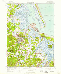
1950 Map of Ipswich
USGS Topo · Published 1958About this map
Ipswich serves as the central hub of this coastal landscape, situated where the Ipswich River meets the intricate tidal marshes of Plum Island Sound. The map reveals a post-war North Shore community defined by its colonial-era road network, including Linebrook Road and High Street, and its dependence on the coastal topography. To the east, the grand estate at Castle Hill overlooks Ipswich Beach and the barrier dunes of Castle Neck, while the Maine Central RR provides a critical industrial link through the town center. Genealogists and local historians will find significant detail in the placement of the Nourse Cem and Highland Cem, as well as the coastal outposts at Little Neck and the lighthouse at Ipswich LH. The surrounding terrain is a mosaic of drumlins like Heartbreak Hill and Sagamore Hill, interspersed with winding tidal channels such as Fox Creek and Labor In Vain Creek.
Find a feature on this map
79 named features on this map. Tap any name to fly to it.
Don’t see what you’re looking for? This feature index may not catch every label — zoom into the map to look around manually.
Map Details
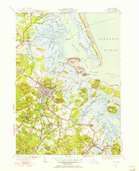
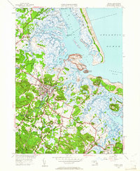
Editions of this 1950 Ipswich Map
3 editions found
Other maps of this area

1886 · Gloucester
USGS Topo · 1:62,500

1888 · Newburyport
USGS Topo · 1:62,500

1888 · Gloucester
USGS Topo · 1:62,500

1888 · Salem
USGS Topo · 1:62,500

1890 · Newburyport
USGS Topo · 1:62,500

1893 · Salem
USGS Topo · 1:62,500

1893 · Gloucester
USGS Topo · 1:62,500

1894 · Newburyport
USGS Topo · 1:62,500

1917 · Salem
USGS Topo · 1:62,500

1918 · Gloucester
USGS Topo · 1:62,500