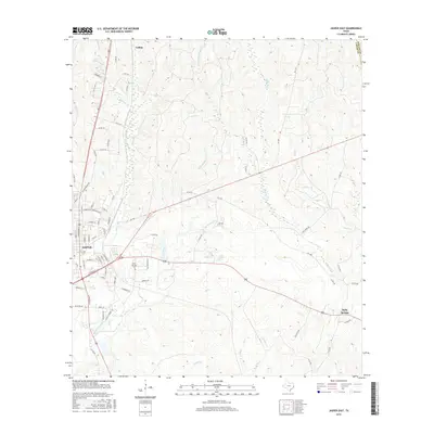
2016 Map of Jasper East
USGS Topo · Published 2016About this map
Jasper serves as the focal point of this East Texas survey, where the convergence of major transit corridors like 96 and 190 meet the eastern outskirts of the city. The landscape is defined by an intricate network of waterways draining the Piney Woods, including Little Sandy Cr, Big Walnut Run, and Huff Cr. These streams carve through a terrain dotted with rural developments and small communities such as Collins to the north and Holly Springs in the southeast.
Find a feature on this map
83 named features on this map. Tap any name to fly to it.
Don’t see what you’re looking for? This feature index may not catch every label — zoom into the map to look around manually.
Map Details
Editions of this 2016 Jasper East Map
This is the sole edition of this map. No revisions or reprints were ever made.
Other maps of this area

1952 · Lake Charles
USGS Topo · 1:250,000

1953 · Alexandria
USGS Topo · 1:250,000

1953 · Palestine
USGS Topo · 1:250,000

1954 · Lake Charles
USGS Topo · 1:250,000

1954 · Beaumont
USGS Topo · 1:250,000

1955 · Alexandria
USGS Topo · 1:250,000

1955 · Roganville
USGS Topo · 1:62,500

1955 · Curtis
USGS Topo · 1:62,500

1957 · Beaumont
USGS Topo · 1:250,000

1957 · Palestine
USGS Topo · 1:250,000