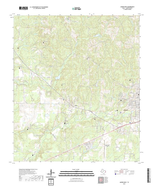
2022 Map of Jasper West
USGS Topo · Published 2022About this map
The western edge of Jasper and the small community of Curtis serve as the focal points for this 2022 survey of the Texas Pineywoods. The landscape is defined by a dense network of creek drainages, including Sandy Cr, Indian Cr, and Neyland Cr, which weave through the terrain alongside numerous small ponds and lakes like Pattons Pond and Linsey Lake. The presence of many family-named burial grounds, such as Watts-Fuller Cem, Hancock Cem, and Hadnot Cem, provides a detailed record of the area’s genealogical footprint. Modern infrastructure is represented by the Jasper County Airport/Bell Field and the Minyard Addition, illustrating the continued expansion of the county seat westward into the surrounding timberlands and creek valleys.
Find a feature on this map
147 named features on this map. Tap any name to fly to it.
Don’t see what you’re looking for? This feature index may not catch every label — zoom into the map to look around manually.
Map Details
Editions of this 2022 Jasper West Map
This is the sole edition of this map. No revisions or reprints were ever made.
Other maps of this area

1952 · Lake Charles
USGS Topo · 1:250,000

1953 · Alexandria
USGS Topo · 1:250,000

1953 · Palestine
USGS Topo · 1:250,000

1954 · Lake Charles
USGS Topo · 1:250,000

1954 · Beaumont
USGS Topo · 1:250,000

1955 · Alexandria
USGS Topo · 1:250,000

1955 · Roganville
USGS Topo · 1:62,500

1955 · Curtis
USGS Topo · 1:62,500

1957 · Beaumont
USGS Topo · 1:250,000

1957 · Palestine
USGS Topo · 1:250,000