
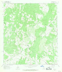
1964 Map of Jeddo
USGS Topo · Published 1967About this map
Peach Creek and its numerous tributaries, including Little Copperas Creek and Copperas Creek, define the landscape of this rural crossing where Bastrop, Caldwell, Fayette, and Gonzales counties converge. In the mid-1960s, this area remained largely agricultural and wooded, with small community centers like Jeddo and Salem serving as local anchors. The map reveals a cluster of cultural landmarks near the northern edge, most notably St Phillips Chapel and the adjacent St Phillips Cem.
Find a feature on this map
17 named features on this map. Tap any name to fly to it.
Don’t see what you’re looking for? This feature index may not catch every label — zoom into the map to look around manually.
Map Details
Editions of this 1964 Jeddo Map
3 editions found
Other maps of this area

1901 · Flatonia
USGS Topo · 1:125,000

1953 · Seguin
USGS Topo · 1:250,000

1958 · Seguin
USGS Topo · 1:250,000
1964 · Delhi
USGS Topo · 1:24,000
1964 · Red Rock
USGS Topo · 1:24,000
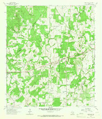
1964 · Sandy Fork
USGS Topo · 1:24,000

1964 · Waelder
USGS Topo · 1:24,000
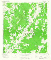
1964 · Rosanky
USGS Topo · 1:24,000
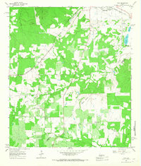
1964 · Togo
USGS Topo · 1:24,000

1965 · Cistern
USGS Topo · 1:24,000