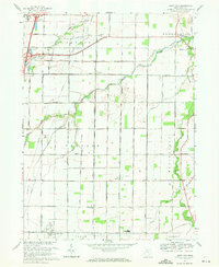
1969 Map of Jerry City
USGS Topo · Published 1971About this map
The Middle Branch Portage River and its various tributaries, including Rocky Ford and Cuckle Creek, define the agricultural landscape of Wood County as it appeared in the late 1960s. This survey illustrates a rural region organized around small settlements like Jerry City and New Rochester, where life centered on local institutions such as Elmwood High Sch and St Pauls Ch. The drainage patterns provided by the river system supported the surrounding townships of Portage and Montgomery, while the western edge of the quadrangle shows the increasing influence of modern transportation with the path of Interstate 75.
Find a feature on this map
55 named features on this map. Tap any name to fly to it.
Don’t see what you’re looking for? This feature index may not catch every label — zoom into the map to look around manually.
Map Details
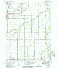
Editions of this 1969 Jerry City Map
2 editions found
Other maps of this area

1901 · Fostoria
USGS Topo · 1:62,500

1901 · Bowling Green
USGS Topo · 1:62,500

1901 · Elmore
USGS Topo · 1:62,500

1903 · Bowling Green
USGS Topo · 1:62,500

1903 · Fostoria
USGS Topo · 1:62,500

1903 · Findlay
USGS Topo · 1:62,500

1903 · Elmore
USGS Topo · 1:62,500
1938 · Tontogany
USGS Topo · 1:31,680
1952 · Tontogany
USGS Topo · 1:24,000

1956 · Toledo
USGS Topo · 1:250,000