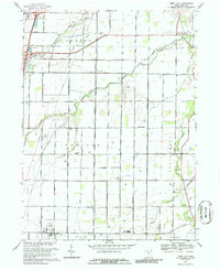
1969 Map of Jerry City
USGS Topo · Published 1986About this map
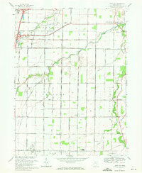
The Portage River watershed defines this landscape in Wood County, where the north, middle, south, and east branches converge. In 1969, the area around Jerry City remains a productive agricultural and energy landscape, marked by a high density of Oil Wells and gas infrastructure that dots the rural townships of Bloom, Center, and Montgomery. These small settlements are anchored by local institutions such as Elmwood High Sch and the County Home located near the North Branch Portage River. The transition from small-scale family farming to modern infrastructure is visible through the Radio Tower (WTLG) and the extensive grid of rural roads like Greensburg Pike and Mermill Rd. For genealogists, the map preserves the exact locations of rural religious and community centers, including Mt Zion Ch and Fish Cem near New Rochester.
Find a feature on this map
68 named features on this map. Tap any name to fly to it.
Don’t see what you’re looking for? This feature index may not catch every label — zoom into the map to look around manually.
Map Details
Editions of this 1969 Jerry City Map
2 editions found
Other maps of this area

1901 · Fostoria
USGS Topo · 1:62,500

1901 · Bowling Green
USGS Topo · 1:62,500

1901 · Elmore
USGS Topo · 1:62,500

1903 · Bowling Green
USGS Topo · 1:62,500

1903 · Fostoria
USGS Topo · 1:62,500

1903 · Findlay
USGS Topo · 1:62,500

1903 · Elmore
USGS Topo · 1:62,500
1938 · Tontogany
USGS Topo · 1:31,680
1952 · Tontogany
USGS Topo · 1:24,000

1956 · Toledo
USGS Topo · 1:250,000