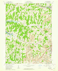
1961 Map of Jewett
USGS Topo · Published 1963About this map
Jewett and Hanover stand as the primary population centers in this pocket of Harrison County, where the landscape is defined by the heavy footprint of mid-century industry. The terrain is crisscrossed by an extensive network of Strip Mines, showing the intense extraction that dominated the local economy during the early 1960s. This industrial activity is underscored by a unique Pipeline (Coal) and multiple traditional Pipelines cutting across the ridges.
Find a feature on this map
42 named features on this map. Tap any name to fly to it.
Don’t see what you’re looking for? This feature index may not catch every label — zoom into the map to look around manually.
Map Details
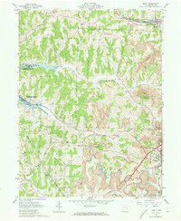
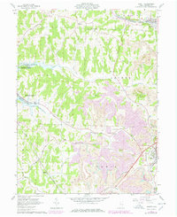
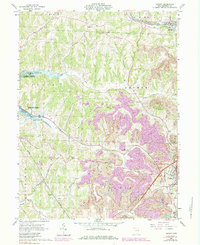
Editions of this 1961 Jewett Map
4 editions found
Other maps of this area

1901 · Cadiz
USGS Topo · 1:62,500

1902 · Scio
USGS Topo · 1:62,500

1903 · Cadiz
USGS Topo · 1:62,500

1903 · Flushing
USGS Topo · 1:62,500

1904 · Scio
USGS Topo · 1:62,500

1905 · St. Clairsville
USGS Topo · 1:62,500

1905 · Flushing
USGS Topo · 1:62,500

1951 · Canton
USGS Topo · 1:250,000

1953 · Canton
USGS Topo · 1:250,000

1957 · Canton
USGS Topo · 1:250,000