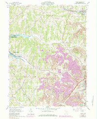
1961 Map of Jewett
USGS Topo · Published 1984About this map
The Pennsylvania railroad and the New York Chicago and St Louis line converge at Jewett, a village situated at the intersection of Harrison County’s early industrial and agricultural landscapes. This 1961 survey, updated with late-1970s land use revisions, documents a topography defined by extensive strip mines and coal-related infrastructure, including an unusual Pipeline (Coal) crossing through Nottingham and Stock townships.
Find a feature on this map
40 named features on this map. Tap any name to fly to it.
Don’t see what you’re looking for? This feature index may not catch every label — zoom into the map to look around manually.
Map Details
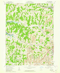
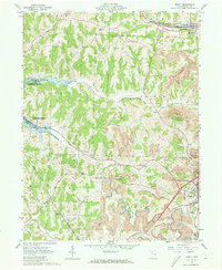
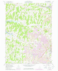
Editions of this 1961 Jewett Map
4 editions found
Other maps of this area

1901 · Cadiz
USGS Topo · 1:62,500

1902 · Scio
USGS Topo · 1:62,500

1903 · Cadiz
USGS Topo · 1:62,500

1903 · Flushing
USGS Topo · 1:62,500

1904 · Scio
USGS Topo · 1:62,500

1905 · St. Clairsville
USGS Topo · 1:62,500

1905 · Flushing
USGS Topo · 1:62,500

1951 · Canton
USGS Topo · 1:250,000

1953 · Canton
USGS Topo · 1:250,000

1957 · Canton
USGS Topo · 1:250,000