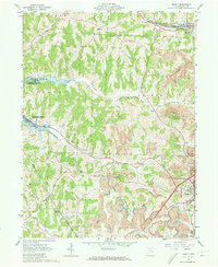
1961 Map of Jewett
USGS Topo · Published 1973About this map
The ridge-and-valley landscape of Harrison County is heavily marked by the coal industry in the early 1960s, with extensive Strip Mines and active rail corridors. The New York Central and Pennsylvania railroads converge at the village of Jewett, which serves as a central transit point for the region's resources. To the west, the Muskingum Watershed Conservancy District manages the shoreline of Tappan Lake, a significant geographical feature created by the damming of Clear Fork and Standingstone Fork. This era shows a transition where recreational water management and industrial surface mining coexist across the same townships. Genealogists will find several burial sites including Ridgeview Cem and Infirmary Cem, the latter situated near the County Home, providing a record of the community's social history and local families near Hanover.
Find a feature on this map
35 named features on this map. Tap any name to fly to it.
Don’t see what you’re looking for? This feature index may not catch every label — zoom into the map to look around manually.
Map Details
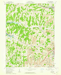
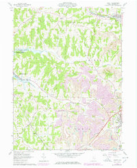
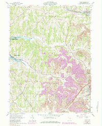
Editions of this 1961 Jewett Map
4 editions found
Other maps of this area

1901 · Cadiz
USGS Topo · 1:62,500

1902 · Scio
USGS Topo · 1:62,500

1903 · Cadiz
USGS Topo · 1:62,500

1903 · Flushing
USGS Topo · 1:62,500

1904 · Scio
USGS Topo · 1:62,500

1905 · St. Clairsville
USGS Topo · 1:62,500

1905 · Flushing
USGS Topo · 1:62,500

1951 · Canton
USGS Topo · 1:250,000

1953 · Canton
USGS Topo · 1:250,000

1957 · Canton
USGS Topo · 1:250,000