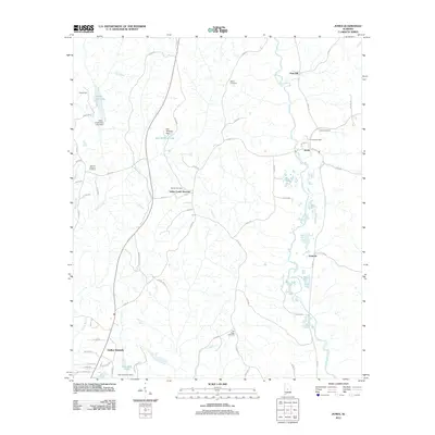
2011 Map of Jones
USGS Topo · Published 2011About this map
Mulberry Creek and Valley Creek define the drainage of this Dallas County landscape, where small rural communities are connected by a network of county roads. The settlement at Jones remains a focal point, anchored by the Jones Post Office and its namesake Jones Cemetery. To the north, the terrain rises toward Vine Hill, while the southern reaches include the developed area of Valley Grande.
Find a feature on this map
64 named features on this map. Tap any name to fly to it.
Don’t see what you’re looking for? This feature index may not catch every label — zoom into the map to look around manually.
Map Details
Editions of this 2011 Jones Map
This is the sole edition of this map. No revisions or reprints were ever made.
Other maps of this area

1891 · Clanton
USGS Topo · 1:125,000

1953 · Montgomery
USGS Topo · 1:250,000

1956 · Montgomery
USGS Topo · 1:250,000

1957 · Montgomery
USGS Topo · 1:250,000

1957 · Benton
USGS Topo · 1:62,500

1958 · Selma
USGS Topo · 1:62,500

1958 · Selma
USGS Topo · 1:24,000

1959 · Plantersville
USGS Topo · 1:62,500

1959 · Summerfield
USGS Topo · 1:62,500

1975 · Plantersville SE
USGS Topo · 1:24,000