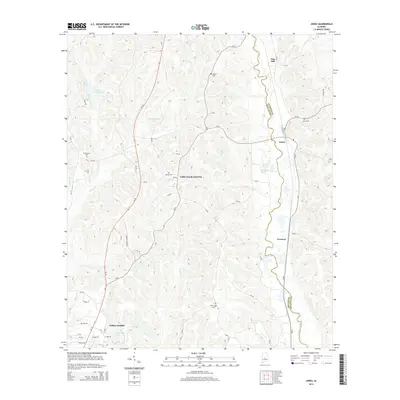
2014 Map of Jones
USGS Topo · Published 2014About this map
Valley Grande and the surrounding timberlands of the Alabama Black Belt are depicted here as the landscape transitioned into the twenty-first century. The area is defined by the winding course of Mulberry Creek, which serves as the natural boundary between Dallas and Autauga counties. Small settlements like Jones, Vine Hill, and Fremont dot the eastern corridor along the railroad, while several family and community burial grounds, including Pea Ridge Cem and Welch Cem, provide valuable geographic markers for local genealogy. The map illustrates a region characterized by small-scale water bodies like Rex Waldrop Lake and Valley Creek Lake, highlighting the importance of managed water resources in this part of the state. Valley Creek Junction remains a notable waypoint where rural roads and legacy rail paths intersect, reflecting the long-standing transport patterns of central Alabama.
Find a feature on this map
60 named features on this map. Tap any name to fly to it.
Don’t see what you’re looking for? This feature index may not catch every label — zoom into the map to look around manually.
Map Details
Editions of this 2014 Jones Map
This is the sole edition of this map. No revisions or reprints were ever made.
Other maps of this area

1891 · Clanton
USGS Topo · 1:125,000

1953 · Montgomery
USGS Topo · 1:250,000

1956 · Montgomery
USGS Topo · 1:250,000

1957 · Montgomery
USGS Topo · 1:250,000

1957 · Benton
USGS Topo · 1:62,500

1958 · Selma
USGS Topo · 1:62,500

1958 · Selma
USGS Topo · 1:24,000

1959 · Plantersville
USGS Topo · 1:62,500

1959 · Summerfield
USGS Topo · 1:62,500

1975 · Plantersville SE
USGS Topo · 1:24,000