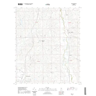
2020 Map of Jones
USGS Topo · Published 2020About this map
Valley Grande serves as a primary reference point in this Alabama landscape, where the rural character of Dallas and Autauga counties is defined by a network of creeks and small settlements. The area around Jones and Vine Hill shows a distribution of community landmarks, including the Pleasant Valley United Methodist Church and its associated cemetery. The topography is shaped by the meandering course of Mulberry Creek and smaller tributaries like Valley Creek, which influenced early transportation and development patterns.
Find a feature on this map
63 named features on this map. Tap any name to fly to it.
Don’t see what you’re looking for? This feature index may not catch every label — zoom into the map to look around manually.
Map Details
Editions of this 2020 Jones Map
This is the sole edition of this map. No revisions or reprints were ever made.
Other maps of this area

1891 · Clanton
USGS Topo · 1:125,000

1953 · Montgomery
USGS Topo · 1:250,000

1956 · Montgomery
USGS Topo · 1:250,000

1957 · Montgomery
USGS Topo · 1:250,000

1957 · Benton
USGS Topo · 1:62,500

1958 · Selma
USGS Topo · 1:62,500

1958 · Selma
USGS Topo · 1:24,000

1959 · Plantersville
USGS Topo · 1:62,500

1959 · Summerfield
USGS Topo · 1:62,500

1975 · Plantersville SE
USGS Topo · 1:24,000