
1891 Map of Jonesville
USGS Topo · Published 1891About this map
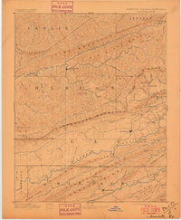
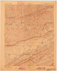
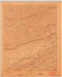
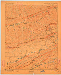
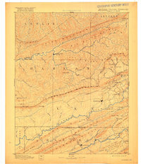
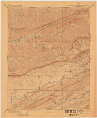
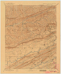
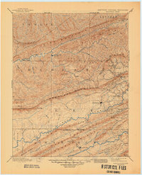
Jonesville and the central valley of Lee County dominate this late 19th-century survey, which documents the complex mountain corridors where Virginia, Kentucky, and Tennessee meet. The terrain is defined by a series of parallel ridges including Cumberland Mountain, Powell Mountain, and the massive Big Black Mountain to the north. Settlement is concentrated along the river bottoms and gaps, with the Powell River serving as a primary axis for communities like Rose Hill and Pennington Gap.
Find a feature on this map
83 named features on this map. Tap any name to fly to it.
Don’t see what you’re looking for? This feature index may not catch every label — zoom into the map to look around manually.
Map Details
Editions of this 1891 Jonesville Map
9 editions found
Other maps of this area

1883 · Morristown
USGS Topo · 1:125,000

1886 · Cumberland Gap
USGS Topo · 1:125,000

1887 · Jonesville
USGS Topo · 1:125,000

1888 · Cumberland Gap
USGS Topo · 1:125,000

1890 · Whitesburg
USGS Topo · 1:125,000

1891 · Manchester
USGS Topo · 1:125,000

1891 · Cumberland Gap
USGS Topo · 1:125,000

1891 · Hazard
USGS Topo · 1:125,000

1892 · Greeneville
USGS Topo · 1:125,000

1892 · Whitesburg
USGS Topo · 1:125,000